Earthquake SOUTH AUSTRALIA
Sat, 17 Feb 2018 00:20:21 GMT
Time8 years ago
Location
-26.4700, 132.9400
Depth
10.0 KM
Event Summary
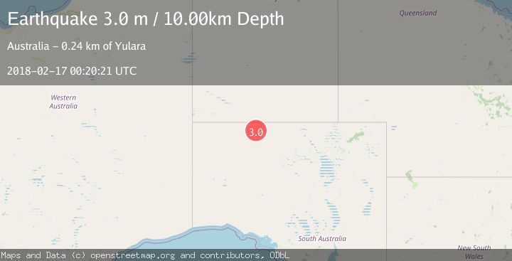
A 3.0 magnitude earthquake struck on SOUTH AUSTRALIA, at Sat, 17 Feb 2018 00:20:21 GMT. Depth: 10km. Reviewed by AUST seismologists, this minor quake occurred at a magnitude type of m.
Magnitude
3.0
m
Source
AUST
Intensity
-
Agency Reports
1 Sources| Source | Magnitude | Depth | Time |
|---|---|---|---|
| AUSTPrimary | 3.0 | 10 km | 8 years ago |
Earthquake Details
AutomaticEvent IDemsc_AUST_20180217_0000140
Tsunami PotentialNo
Magnitude Typem
Nearest Places
- Bullys Dam5.0 km
- Echo Hill Bore10.4 km
- Echo Hill Dam10.5 km
- Camel Pad Dam10.9 km
- Narrengullen Dam11.6 km
Comments
Join the discussion about this event.
Latest Earthquakes
1.4Mag
4 km W of Lake Henshaw, CA
Time6 minutes ago
Depth12.20 km
SourceUSGS (Automatic)
3.6Mag
Southeastern Alaska
Time7 minutes ago
Depth0.00 km
SourceVYT (Automatic)
2.5Mag
West Papua Region, Indonesia
Time9 minutes ago
Depth10.00 km
SourceBMKG
2.2Mag
Tarapaca, Chile
Time13 minutes ago
Depth103.76 km
SourceVYT (Automatic)
1.4Mag
9 km WSW of Stanton, Texas
Time16 minutes ago
Depth2.29 km
SourceUSGS (Automatic)
Nearby Earthquakes
3.0Mag
SOUTH AUSTRALIA
Time3 years ago
Depth10.00 km
SourceAUST (Automatic)
5.5Mag
SOUTH AUSTRALIA
Time13 years ago
Depth2.00 km
SourceEMSC (Automatic)
5.8Mag
NORTHERN TERRITORY, AUSTRALIA
Time12 years ago
Depth10.00 km
SourceEMSC (Automatic)
1.0Mag
Northern Territory, Australia
Time1 week ago
Depth0.00 km
SourceVYT (Automatic)
2.1Mag
Northern Territory, Australia
Time1 week ago
Depth0.00 km
SourceVYT (Automatic)