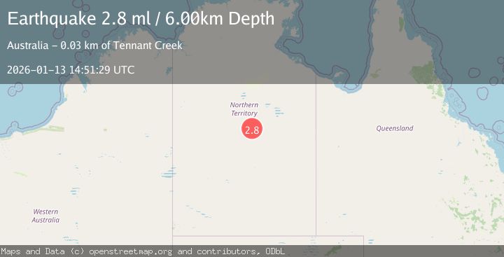
Earthquake NORTHERN TERRITORY, AUSTRALIA
Tue, 13 Jan 2026 14:51:29 GMT
Time1 month ago
Location
-19.8000, 134.0000
Depth
6.0 KM
Event Summary
A 2.8 magnitude earthquake struck on NORTHERN TERRITORY, AUSTRALIA, at Tue, 13 Jan 2026 14:51:29 GMT. Depth: 6km. Reviewed by AUST seismologists, this minor quake occurred at a magnitude type of ml.
Magnitude
2.8
ml
Source
AUST
Intensity
-
Agency Reports
1 Sources| Source | Magnitude | Depth | Time |
|---|---|---|---|
| AUSTPrimary | 2.8 | 6 km | 1 month ago |
Earthquake Details
AutomaticEvent IDemsc_AUST_20260113_0000337
Tsunami PotentialNo
Magnitude Typeml
Nearest Places
- No 1 Bore4.0 km
- No 2 Bore5.2 km
- Number Two Bore5.2 km
- Limestone Bore7.9 km
- Kelly Well No 118.9 km
Comments
Join the discussion about this event.
Latest Earthquakes
2.5Mag
Tarapaca, Chile
Time1 minute ago
Depth112.55 km
SourceVYT (Automatic)
2.2Mag
Tarapaca, Chile
Time7 minutes ago
Depth111.94 km
SourceVYT (Automatic)
1.9Mag
Central Alaska
Time7 minutes ago
Depth32.10 km
SourceVYT (Automatic)
3.4Mag
HAWAII REGION, HAWAII
Time8 minutes ago
Depth4.70 km
SourceHV (Automatic)
1.9Mag
STRAIT OF GIBRALTAR
Time11 minutes ago
Depth0.00 km
SourceIGN (Automatic)
Nearby Earthquakes
3.0Mag
NORTHERN TERRITORY, AUSTRALIA
Time7 years ago
Depth5.00 km
SourceAUST (Automatic)
3.0Mag
NORTHERN TERRITORY, AUSTRALIA
Time2 years ago
Depth10.00 km
SourceAUST (Automatic)
3.0Mag
NORTHERN TERRITORY, AUSTRALIA
Time2 years ago
Depth10.00 km
SourceAUST (Automatic)
3.0Mag
NORTHERN TERRITORY, AUSTRALIA
Time8 months ago
Depth10.00 km
SourceAUST (Automatic)
3.0Mag
NORTHERN TERRITORY, AUSTRALIA
Time3 years ago
Depth10.00 km
SourceAUST (Automatic)