Earthquake WESTERN AUSTRALIA
Thu, 29 Jan 2026 02:44:20 GMT
Time3 hours ago
Location
-28.0500, 120.5200
Depth
10.0 KM
Event Summary
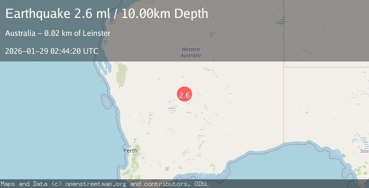
A 2.6 magnitude earthquake struck on WESTERN AUSTRALIA, at Thu, 29 Jan 2026 02:44:20 GMT. Depth: 10km. Reviewed by AUST seismologists, this minor quake occurred at a magnitude type of ml.
Magnitude
2.6
ml
Source
AUST
Intensity
-
Agency Reports
1 Sources| Source | Magnitude | Depth | Time |
|---|---|---|---|
| AUSTPrimary | 2.6 | 10 km | 3 hours ago |
Earthquake Details
AutomaticEvent IDemsc_AUST_20260129_0000049
Tsunami PotentialNo
Magnitude Typeml
Nearest Places
- Agnew Buff2.5 km
- Finches Well2.7 km
- The Bounty Shaft4.1 km
- Lawlers4.1 km
- Agnew4.2 km
Comments
Join the discussion about this event.
Latest Earthquakes
2.5Mag
70 km W of Petersville, Alaska
Time3 hours ago
Depth4.00 km
SourceUSGS (Automatic)
1.5Mag
5 km NNW of The Geysers, CA
Time3 hours ago
Depth1.95 km
SourceUSGS (Automatic)
2.4Mag
Sumbawa Region, Indonesia
Time3 hours ago
Depth10.00 km
SourceBMKG (Automatic)
3.4Mag
OFF E. COAST OF N. ISLAND, N.Z.
Time3 hours ago
Depth50.60 km
SourceGNS (Automatic)
3.5Mag
SOUTHERN YUKON TERRITORY, CANADA
Time3 hours ago
Depth5.00 km
SourceNEIC (Automatic)
Nearby Earthquakes
No significant earthquakes nearby recently.