Earthquake WESTERN AUSTRALIA
Fri, 27 Feb 2026 09:37:04 GMT
Time3 months ago
Location
-13.2983, 128.6504
Depth
10.0 KM
Event Summary
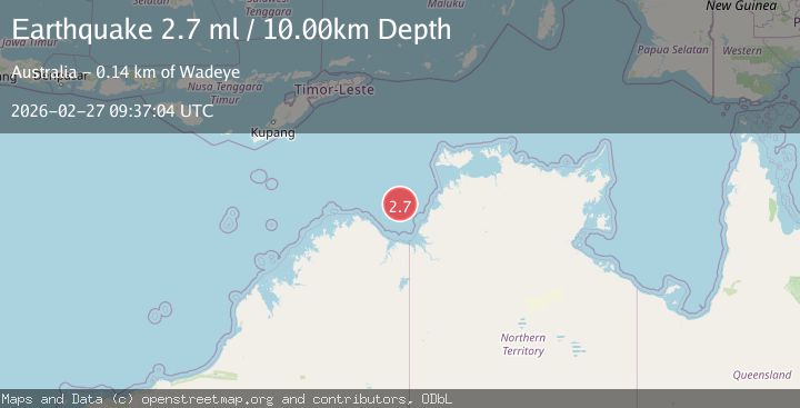
A 2.7 magnitude earthquake struck on WESTERN AUSTRALIA, at Fri, 27 Feb 2026 09:37:04 GMT. Depth: 10km. Reviewed by AUST seismologists, this minor quake occurred at a magnitude type of ml.
Magnitude
2.7
ml
Source
AUST
Intensity
-
Agency Reports
1 Sources| Source | Magnitude | Depth | Time |
|---|---|---|---|
| AUSTPrimary | 2.7 | 10 km | 3 months ago |
Earthquake Details
AutomaticEvent IDemsc_AUST_20260227_0000127
QualityS
Tsunami PotentialNo
Magnitude Typeml
Last Update3 months ago
Felt Reports0
Did you feel this earthquake? Report it to help others.
No reports yet
Be the first to report this earthquake!
Latest Earthquakes
Loading...
Nearby Earthquakes
3.2Mag
Northern Territory, Australia
Time1 month ago
Depth244.87 km
SourceVYT (Automatic)
2.8Mag
Western Australia
Time1 month ago
Depth673.22 km
SourceVYT (Automatic)
2.7Mag
Western Australia
Time1 month ago
Depth330.57 km
SourceVYT (Automatic)
3.2Mag
south of Timor
Time1 month ago
Depth276.98 km
SourceVYT (Automatic)
3.1Mag
Western Australia
Time1 month ago
Depth227.66 km
SourceVYT (Automatic)