Earthquake NORTH OF HALMAHERA, INDONESIA
Fri, 02 Jan 2026 23:44:02 GMT
Time1 month ago
Location
3.0000, 128.8300
Depth
7.0 KM
Event Summary
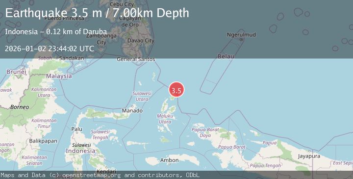
A 3.5 magnitude earthquake struck on NORTH OF HALMAHERA, INDONESIA, at Fri, 02 Jan 2026 23:44:02 GMT. Depth: 7km. Reviewed by BMKG seismologists, this minor quake occurred at a magnitude type of m.
Magnitude
3.5
m
Source
BMKG
Intensity
-
Agency Reports
1 Sources| Source | Magnitude | Depth | Time |
|---|---|---|---|
| BMKGPrimary | 3.5 | 7 km | 1 month ago |
Earthquake Details
AutomaticEvent IDemsc_BMKG_20260102_0000332
Tsunami PotentialNo
Magnitude Typem
Nearest Places
- Tanjung Sopi49.2 km
- Papuamalolu50.4 km
- Kakaibabao51.2 km
- Tanjung Gogopoa52.6 km
- Desa Loleo52.7 km
Comments
Join the discussion about this event.
Latest Earthquakes
1.2Mag
Southern Alaska
Time2 minutes ago
Depth37.11 km
SourceVYT (Automatic)
3.0Mag
Seram, Indonesia
Time2 minutes ago
Depth12.36 km
SourceBMKG
1.1Mag
Washington
Time7 minutes ago
Depth9.64 km
SourceVYT (Automatic)
1.9Mag
32 km NW of Toyah, Texas
Time9 minutes ago
Depth4.09 km
SourceUSGS (Automatic)
1.7Mag
western Texas
Time12 minutes ago
Depth3.42 km
SourceVYT (Automatic)
Nearby Earthquakes
3.0Mag
HALMAHERA, INDONESIA
Time8 months ago
Depth10.00 km
SourceBMKG (Automatic)
4.6Mag
HALMAHERA, INDONESIA
Time1 month ago
Depth35.00 km
SourceEMSC (Automatic)
3.7Mag
HALMAHERA, INDONESIA
Time1 month ago
Depth12.00 km
SourceBMKG (Automatic)
3.8Mag
HALMAHERA, INDONESIA
Time1 month ago
Depth10.00 km
SourceBMKG (Automatic)
3.0Mag
HALMAHERA, INDONESIA
Time2 years ago
Depth213.00 km
SourceBMKG (Automatic)