Earthquake NEAR N COAST OF PAPUA, INDONESIA
Sat, 03 Jan 2026 05:27:43 GMT
Time1 month ago
Location
-1.5300, 139.4800
Depth
10.0 KM
Event Summary
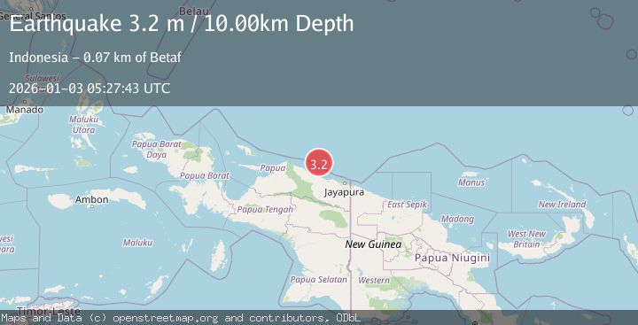
A 3.2 magnitude earthquake struck on NEAR N COAST OF PAPUA, INDONESIA, at Sat, 03 Jan 2026 05:27:43 GMT. Depth: 10km. Reviewed by BMKG seismologists, this minor quake occurred at a magnitude type of m.
Magnitude
3.2
m
Source
BMKG
Intensity
-
Agency Reports
1 Sources| Source | Magnitude | Depth | Time |
|---|---|---|---|
| BMKGPrimary | 3.2 | 10 km | 1 month ago |
Earthquake Details
AutomaticEvent IDemsc_BMKG_20260103_0000076
Tsunami PotentialNo
Magnitude Typem
Nearest Places
- Ansudu54.7 km
- Pulau Yamna57.0 km
- Pulau Mademo61.4 km
- Pulau Masimasi65.2 km
- Pulau Yarsun65.3 km
Comments
Join the discussion about this event.
Latest Earthquakes
1.4Mag
EASTERN TURKEY
Time9 minutes ago
Depth6.80 km
SourceAFAD (Automatic)
1.9Mag
6 km SW of Fuig, Puerto Rico
Time10 minutes ago
Depth13.76 km
SourceUSGS
1.7Mag
northern Alaska
Time10 minutes ago
Depth4.64 km
SourceVYT (Automatic)
1.2Mag
5 km WNW of The Geysers, CA
Time16 minutes ago
Depth3.19 km
SourceUSGS (Automatic)
3.4Mag
Sulawesi, Indonesia
Time19 minutes ago
Depth27.95 km
SourceVYT (Automatic)
Nearby Earthquakes
3.3Mag
NEAR N COAST OF PAPUA, INDONESIA
Time1 month ago
Depth10.00 km
SourceBMKG (Automatic)
4.0Mag
NEAR N COAST OF PAPUA, INDONESIA
Time10 months ago
Depth10.00 km
SourceBMKG (Automatic)
3.0Mag
NEAR N COAST OF PAPUA, INDONESIA
Time1 month ago
Depth14.00 km
SourceBMKG (Automatic)
3.2Mag
NEAR N COAST OF PAPUA, INDONESIA
Time1 month ago
Depth24.00 km
SourceBMKG (Automatic)
3.2Mag
Near North Coast of West Papua
Time3 weeks ago
Depth10.00 km
SourceBMKG (Automatic)