Earthquake TIMOR REGION, INDONESIA
Mon, 05 Jan 2026 17:31:45 GMT
Time1 month ago
Location
-10.0300, 123.6700
Depth
4.0 KM
Event Summary
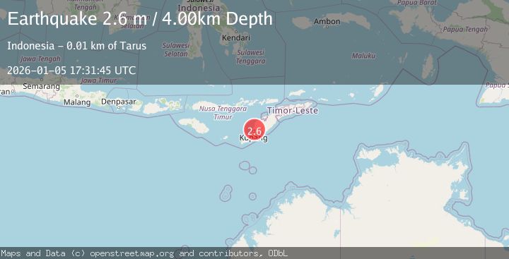
A 2.6 magnitude earthquake struck on TIMOR REGION, INDONESIA, at Mon, 05 Jan 2026 17:31:45 GMT. Depth: 4km. Reviewed by BMKG seismologists, this minor quake occurred at a magnitude type of m.
Magnitude
2.6
m
Source
BMKG
Intensity
-
Agency Reports
1 Sources| Source | Magnitude | Depth | Time |
|---|---|---|---|
| BMKGPrimary | 2.6 | 4 km | 1 month ago |
Earthquake Details
AutomaticEvent IDemsc_BMKG_20260105_0000259
Tsunami PotentialNo
Magnitude Typem
Nearest Places
- Tanjung Pebonak1.2 km
- Noel Oetufi1.5 km
- Tanjung Kukak1.5 km
- Pulau Burung2.0 km
- Oetufi2.1 km
Comments
Join the discussion about this event.
Latest Earthquakes
2.6Mag
Minahasa, Sulawesi, Indonesia
Time2 minutes ago
Depth3.17 km
SourceVYT (Automatic)
2.6Mag
Antofagasta, Chile
Time2 minutes ago
Depth125.12 km
SourceVYT (Automatic)
0.8Mag
7 km NW of The Geysers, CA
Time6 minutes ago
Depth1.32 km
SourceUSGS (Automatic)
2.7Mag
San Juan, Argentina
Time11 minutes ago
Depth363.53 km
SourceVYT (Automatic)
2.5Mag
Java, Indonesia
Time11 minutes ago
Depth115.43 km
SourceBMKG
Nearby Earthquakes
5.0Mag
TIMOR REGION, INDONESIA
Time2 years ago
Depth39.00 km
SourceEMSC (Automatic)
5.3Mag
TIMOR REGION, INDONESIA
Time1 year ago
Depth10.00 km
SourceEMSC (Automatic)
5.2Mag
TIMOR REGION, INDONESIA
Time2 years ago
Depth39.00 km
SourceEMSC (Automatic)
5.0Mag
TIMOR REGION, INDONESIA
Time2 years ago
Depth39.00 km
SourceEMSC (Automatic)
3.0Mag
TIMOR REGION, INDONESIA
Time2 years ago
Depth25.00 km
SourceBMKG (Automatic)