Earthquake NEAR S COAST OF PAPUA, INDONESIA
Mon, 05 Jan 2026 22:50:37 GMT
Time1 month ago
Location
-4.5100, 133.6700
Depth
30.0 KM
Event Summary
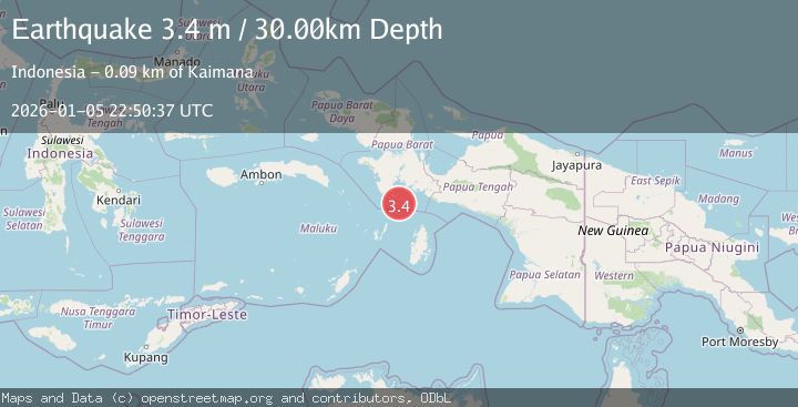
A 3.4 magnitude earthquake struck on NEAR S COAST OF PAPUA, INDONESIA, at Mon, 05 Jan 2026 22:50:37 GMT. Depth: 30km. Reviewed by BMKG seismologists, this minor quake occurred at a magnitude type of m.
Magnitude
3.4
m
Source
BMKG
Intensity
-
Agency Reports
1 Sources| Source | Magnitude | Depth | Time |
|---|---|---|---|
| BMKGPrimary | 3.4 | 30 km | 1 month ago |
Earthquake Details
AutomaticEvent IDemsc_BMKG_20260105_0000329
Tsunami PotentialNo
Magnitude Typem
Nearest Places
- Pulau Tumbutumbu27.4 km
- Tanjung Watukebo28.1 km
- Kampung Adi Jaya38.8 km
- Manggawitu42.5 km
- Pulau Adi43.4 km
Comments
Join the discussion about this event.
Latest Earthquakes
2.3Mag
FRANCE
Time13 hours ago
Depth5.00 km
SourceReNaSS (Automatic)
2.3Mag
FRANCE
Time13 hours ago
Depth9.20 km
SourceReNaSS (Automatic)
1.9Mag
Southern California
Time13 hours ago
Depth0.00 km
SourceVYT (Automatic)
1.2Mag
WESTERN TURKEY
Time13 hours ago
Depth4.00 km
SourceAFAD (Automatic)
1.1Mag
Southeastern Alaska
Time13 hours ago
Depth31.25 km
SourceVYT (Automatic)
Nearby Earthquakes
4.0Mag
NEAR S COAST OF PAPUA, INDONESIA
Time6 years ago
Depth28.00 km
SourceDJA (Automatic)
3.7Mag
West Papua Region, Indonesia
Time1 week ago
Depth10.00 km
SourceBMKG
5.1Mag
NEAR S COAST OF PAPUA, INDONESIA
Time18 years ago
Depth10.00 km
SourceEMSC (Automatic)
4.0Mag
NEAR S COAST OF PAPUA, INDONESIA
Time2 years ago
Depth10.00 km
SourceBMKG (Automatic)
5.2Mag
NEAR S COAST OF PAPUA, INDONESIA
Time21 years ago
Depth30.00 km
SourceEMSC (Automatic)