Earthquake BALI REGION, INDONESIA
Tue, 06 Jan 2026 16:04:27 GMT
Time1 month ago
Location
-8.5000, 115.7600
Depth
38.0 KM
Event Summary
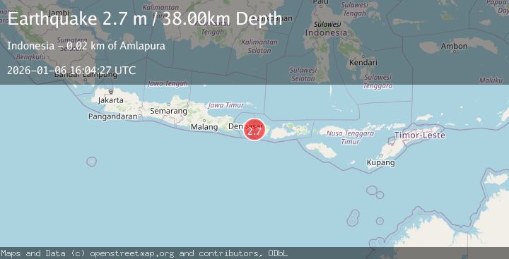
A 2.7 magnitude earthquake struck on BALI REGION, INDONESIA, at Tue, 06 Jan 2026 16:04:27 GMT. Depth: 38km. Reviewed by BMKG seismologists, this minor quake occurred at a magnitude type of m.
Magnitude
2.7
m
Source
BMKG
Intensity
-
Agency Reports
1 Sources| Source | Magnitude | Depth | Time |
|---|---|---|---|
| BMKGPrimary | 2.7 | 38 km | 1 month ago |
Earthquake Details
AutomaticEvent IDemsc_BMKG_20260106_0000298
Tsunami PotentialNo
Magnitude Typem
Nearest Places
- Selat Lombok9.9 km
- Tukad Belong11.0 km
- Tukad Item11.0 km
- Tukad Buah11.0 km
- Blaslantang11.1 km
Comments
Join the discussion about this event.
Latest Earthquakes
1.2Mag
Southern Alaska
Time9 hours ago
Depth75.93 km
SourceVYT (Automatic)
2.2Mag
Southeastern Alaska
Time10 hours ago
Depth0.00 km
SourceVYT (Automatic)
1.6Mag
13 km SE of Balmorhea, Texas
Time10 hours ago
Depth3.50 km
SourceUSGS (Automatic)
2.0Mag
Kenai Peninsula, Alaska
Time10 hours ago
Depth51.51 km
SourceVYT (Automatic)
2.4Mag
Sumbawa Region, Indonesia
Time10 hours ago
Depth103.46 km
SourceBMKG
Nearby Earthquakes
2.5Mag
BALI REGION, INDONESIA
Time1 month ago
Depth34.00 km
SourceBMKG (Automatic)
2.9Mag
BALI REGION, INDONESIA
Time1 month ago
Depth36.00 km
SourceBMKG (Automatic)
2.6Mag
BALI REGION, INDONESIA
Time1 month ago
Depth35.00 km
SourceBMKG (Automatic)
2.8Mag
BALI REGION, INDONESIA
Time1 month ago
Depth39.00 km
SourceBMKG (Automatic)
2.8Mag
BALI REGION, INDONESIA
Time1 month ago
Depth33.00 km
SourceBMKG (Automatic)