Earthquake BALI REGION, INDONESIA
Wed, 07 Jan 2026 05:28:56 GMT
Time1 month ago
Location
-8.8600, 115.1600
Depth
204.0 KM
Event Summary
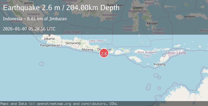
A 2.6 magnitude earthquake struck on BALI REGION, INDONESIA, at Wed, 07 Jan 2026 05:28:56 GMT. Depth: 204km. Reviewed by BMKG seismologists, this minor quake occurred at a magnitude type of m.
Magnitude
2.6
m
Source
BMKG
Intensity
-
Agency Reports
1 Sources| Source | Magnitude | Depth | Time |
|---|---|---|---|
| BMKGPrimary | 2.6 | 204 km | 1 month ago |
Earthquake Details
AutomaticEvent IDemsc_BMKG_20260107_0000089
Tsunami PotentialNo
Magnitude Typem
Nearest Places
- 1.3 km
- 1.6 km
- 1.7 km
- 1.7 km
- 1.7 km
Comments
Join the discussion about this event.
Latest Earthquakes
2.7Mag
Antofagasta, Chile
Time2 hours ago
Depth205.69 km
SourceVYT (Automatic)
2.3Mag
Northern Territory, Australia
Time2 hours ago
Depth430.42 km
SourceVYT (Automatic)
1.7Mag
Southeastern Alaska
Time2 hours ago
Depth0.00 km
SourceVYT (Automatic)
3.5Mag
Flores region, Indonesia
Time3 hours ago
Depth10.00 km
SourceVYT (Automatic)
2.1Mag
Bali Region, Indonesia
Time3 hours ago
Depth92.22 km
SourceBMKG
Nearby Earthquakes
3.0Mag
BALI REGION, INDONESIA
Time7 years ago
Depth10.00 km
SourceDJA (Automatic)
2.9Mag
BALI REGION, INDONESIA
Time1 month ago
Depth79.00 km
SourceBMKG (Automatic)
2.1Mag
Bali Region, Indonesia
Time3 hours ago
Depth92.22 km
SourceBMKG
3.0Mag
BALI REGION, INDONESIA
Time8 years ago
Depth13.00 km
SourceDJA (Automatic)
5.7Mag
BALI REGION, INDONESIA
Time8 years ago
Depth120.00 km
SourceEMSC (Automatic)