Earthquake BANDA SEA
Fri, 09 Jan 2026 22:19:20 GMT
Time1 month ago
Location
-5.8200, 130.9000
Depth
190.0 KM
Event Summary
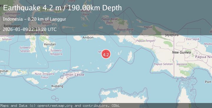
A 4.2 magnitude earthquake struck on BANDA SEA, at Fri, 09 Jan 2026 22:19:20 GMT. Depth: 190km. Reviewed by BMKG seismologists, this light quake occurred at a magnitude type of m.
Magnitude
4.2
m
Source
BMKG
Intensity
-
Agency Reports
1 Sources| Source | Magnitude | Depth | Time |
|---|---|---|---|
| BMKGPrimary | 4.2 | 190 km | 1 month ago |
Earthquake Details
AutomaticEvent IDemsc_BMKG_20260109_0000329
Tsunami PotentialNo
Magnitude Typem
Nearest Places
- Weber Basin22.9 km
- Pulau Manuk72.6 km
- Banda Trench91.8 km
- Kepulauan Selatan Daya104.7 km
- Waru110.7 km
Comments
Join the discussion about this event.
Latest Earthquakes
0.8Mag
7 km NW of The Geysers, CA
Time3 minutes ago
Depth1.32 km
SourceUSGS (Automatic)
2.5Mag
San Juan, Argentina
Time7 minutes ago
Depth363.53 km
SourceVYT (Automatic)
2.5Mag
Java, Indonesia
Time8 minutes ago
Depth115.43 km
SourceBMKG
3.9Mag
Halmahera, Indonesia
Time10 minutes ago
Depth161.01 km
SourceVYT (Automatic)
1.0Mag
3 km W of Cobb, CA
Time11 minutes ago
Depth2.45 km
SourceUSGS (Automatic)
Nearby Earthquakes
5.0Mag
BANDA SEA
Time14 years ago
Depth130.00 km
SourceEMSC (Automatic)
5.0Mag
BANDA SEA
Time19 years ago
Depth134.00 km
SourceEMSC (Automatic)
4.0Mag
BANDA SEA
Time4 years ago
Depth138.00 km
SourceDJA (Automatic)
4.0Mag
BANDA SEA
Time4 years ago
Depth49.00 km
SourceDJA (Automatic)
4.0Mag
BANDA SEA
Time4 years ago
Depth160.00 km
SourceDJA (Automatic)