Earthquake SOUTHERN SUMATRA, INDONESIA
Sat, 10 Jan 2026 15:32:29 GMT
Time1 month ago
Location
-5.8400, 102.7000
Depth
69.0 KM
Event Summary
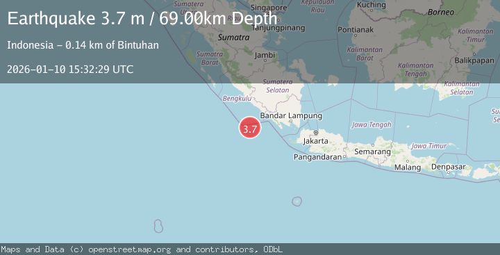
A 3.7 magnitude earthquake struck on SOUTHERN SUMATRA, INDONESIA, at Sat, 10 Jan 2026 15:32:29 GMT. Depth: 69km. Reviewed by BMKG seismologists, this minor quake occurred at a magnitude type of m.
Magnitude
3.7
m
Source
BMKG
Intensity
-
Agency Reports
1 Sources| Source | Magnitude | Depth | Time |
|---|---|---|---|
| BMKGPrimary | 3.7 | 69 km | 1 month ago |
Earthquake Details
AutomaticEvent IDemsc_BMKG_20260110_0000199
Tsunami PotentialNo
Magnitude Typem
Nearest Places
- Tanjung Kahoabi52.4 km
- Pulau Merbau52.8 km
- Teluk Kiowa54.3 km
- Pulau Bangkai54.3 km
- Pulaudua54.6 km
Comments
Join the discussion about this event.
Latest Earthquakes
1.3Mag
29 km W of Garden City, Texas
Time6 minutes ago
Depth3.35 km
SourceUSGS (Automatic)
2.1Mag
6 km NE of Beaverdam, Nevada
Time7 minutes ago
Depth11.45 km
SourceUSGS (Automatic)
3.4Mag
NORTH ISLAND OF NEW ZEALAND
Time14 minutes ago
Depth146.90 km
SourceGNS (Automatic)
2.6Mag
WESTERN TURKEY
Time20 minutes ago
Depth7.30 km
SourceKOERI (Automatic)
3.7Mag
YUNNAN, CHINA
Time21 minutes ago
Depth10.00 km
SourceTSB (Automatic)
Nearby Earthquakes
3.3Mag
SOUTHERN SUMATRA, INDONESIA
Time1 month ago
Depth20.00 km
SourceBMKG (Automatic)
4.0Mag
SOUTHERN SUMATRA, INDONESIA
Time6 years ago
Depth10.00 km
SourceDJA (Automatic)
5.2Mag
SOUTHERN SUMATRA, INDONESIA
Time8 years ago
Depth20.00 km
SourceEMSC (Automatic)
3.0Mag
SOUTHERN SUMATRA, INDONESIA
Time5 years ago
Depth10.00 km
SourceDJA (Automatic)
3.0Mag
SOUTHERN SUMATRA, INDONESIA
Time4 years ago
Depth10.00 km
SourceDJA (Automatic)