Earthquake BALI REGION, INDONESIA
Sun, 11 Jan 2026 02:41:54 GMT
Time1 month ago
Location
-8.4600, 115.8000
Depth
29.0 KM
Event Summary
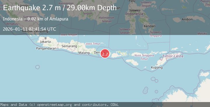
A 2.7 magnitude earthquake struck on BALI REGION, INDONESIA, at Sun, 11 Jan 2026 02:41:54 GMT. Depth: 29km. Reviewed by BMKG seismologists, this minor quake occurred at a magnitude type of m.
Magnitude
2.7
m
Source
BMKG
Intensity
-
Agency Reports
1 Sources| Source | Magnitude | Depth | Time |
|---|---|---|---|
| BMKGPrimary | 2.7 | 29 km | 1 month ago |
Earthquake Details
AutomaticEvent IDemsc_BMKG_20260111_0000039
Tsunami PotentialNo
Magnitude Typem
Nearest Places
- Selat Lombok7.1 km
- Tanjung Karangasem8.7 km
- Gili Selang11.8 km
- Tanahbarak12.1 km
- Tukad Batuundung12.1 km
Comments
Join the discussion about this event.
Latest Earthquakes
1.2Mag
Southern Alaska
Time9 hours ago
Depth75.93 km
SourceVYT (Automatic)
2.2Mag
Southeastern Alaska
Time10 hours ago
Depth0.00 km
SourceVYT (Automatic)
1.6Mag
13 km SE of Balmorhea, Texas
Time10 hours ago
Depth3.50 km
SourceUSGS (Automatic)
2.0Mag
Kenai Peninsula, Alaska
Time10 hours ago
Depth51.51 km
SourceVYT (Automatic)
2.4Mag
Sumbawa Region, Indonesia
Time10 hours ago
Depth103.46 km
SourceBMKG
Nearby Earthquakes
2.5Mag
BALI REGION, INDONESIA
Time1 month ago
Depth37.00 km
SourceBMKG (Automatic)
2.5Mag
BALI REGION, INDONESIA
Time1 month ago
Depth35.00 km
SourceBMKG (Automatic)
2.5Mag
BALI REGION, INDONESIA
Time1 month ago
Depth34.00 km
SourceBMKG (Automatic)
3.0Mag
BALI REGION, INDONESIA
Time2 years ago
Depth28.00 km
SourceBMKG (Automatic)
2.8Mag
BALI REGION, INDONESIA
Time1 month ago
Depth39.00 km
SourceBMKG (Automatic)