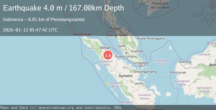
Earthquake NORTHERN SUMATRA, INDONESIA
Mon, 12 Jan 2026 05:47:42 GMT
Time1 month ago
Location
2.8700, 99.0600
Depth
167.0 KM
Event Summary
A 4.0 magnitude earthquake struck on NORTHERN SUMATRA, INDONESIA, at Mon, 12 Jan 2026 05:47:42 GMT. Depth: 167km. Reviewed by BMKG seismologists, this light quake occurred at a magnitude type of m.
Magnitude
4.0
m
Source
BMKG
Intensity
-
Agency Reports
1 Sources| Source | Magnitude | Depth | Time |
|---|---|---|---|
| BMKGPrimary | 4.0 | 167 km | 1 month ago |
Earthquake Details
AutomaticEvent IDemsc_BMKG_20260112_0000086
Tsunami PotentialNo
Magnitude Typem
Nearest Places
- Pondok Hutabayu0.5 km
- Desa Kasindir1.0 km
- Bongkaran1.3 km
- Gajing1.6 km
- Pondok Lawas1.6 km
Comments
Join the discussion about this event.
Latest Earthquakes
2.2Mag
western Texas
Time2 minutes ago
Depth0.24 km
SourceVYT (Automatic)
2.2Mag
Valparaiso, Chile
Time3 minutes ago
Depth22.83 km
SourceVYT (Automatic)
4.5Mag
Central Alaska
Time4 minutes ago
Depth7.81 km
SourceVYT (Automatic)
1.9Mag
1 km SSW of Pāhala, Hawaii
Time8 minutes ago
Depth28.47 km
SourceUSGS (Automatic)
1.5Mag
5 km NW of The Geysers, CA
Time9 minutes ago
Depth2.47 km
SourceUSGS (Automatic)
Nearby Earthquakes
5.3Mag
NORTHERN SUMATRA, INDONESIA
Time11 years ago
Depth173.00 km
SourceEMSC (Automatic)
2.6Mag
NORTHERN SUMATRA, INDONESIA
Time1 month ago
Depth145.00 km
SourceBMKG (Automatic)
5.5Mag
NORTHERN SUMATRA, INDONESIA
Time15 years ago
Depth165.00 km
SourceEMSC (Automatic)
5.1Mag
NORTHERN SUMATRA, INDONESIA
Time3 years ago
Depth157.00 km
SourceEMSC (Automatic)
5.6Mag
NORTHERN SUMATRA, INDONESIA
Time8 years ago
Depth152.00 km
SourceEMSC (Automatic)