Earthquake SUMBA REGION, INDONESIA
Mon, 12 Jan 2026 15:03:16 GMT
Time1 month ago
Location
-9.3200, 119.2000
Depth
38.0 KM
Event Summary
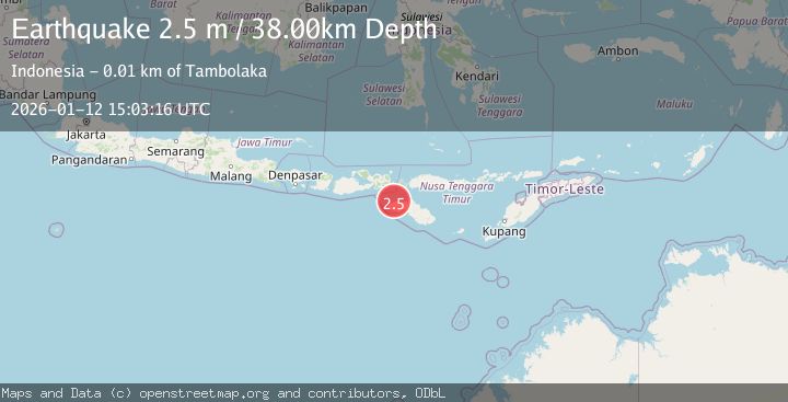
A 2.5 magnitude earthquake struck on SUMBA REGION, INDONESIA, at Mon, 12 Jan 2026 15:03:16 GMT. Depth: 38km. Reviewed by BMKG seismologists, this minor quake occurred at a magnitude type of m.
Magnitude
2.5
m
Source
BMKG
Intensity
-
Agency Reports
1 Sources| Source | Magnitude | Depth | Time |
|---|---|---|---|
| BMKGPrimary | 2.5 | 38 km | 1 month ago |
Earthquake Details
AutomaticEvent IDemsc_BMKG_20260112_0000224
Tsunami PotentialNo
Magnitude Typem
Nearest Places
- Tanjung Waiwalla5.2 km
- Sungai Newa5.5 km
- Tanjung Oro6.4 km
- Teluk Waikelo7.0 km
- Danadana7.5 km
Comments
Join the discussion about this event.
Latest Earthquakes
1.7Mag
Central Alaska
Time8 minutes ago
Depth86.30 km
SourceVYT (Automatic)
4.6Mag
Tarapaca, Chile
Time11 minutes ago
Depth111.45 km
SourceVYT (Automatic)
2.5Mag
IONIAN SEA
Time23 minutes ago
Depth13.20 km
SourceNOA (Automatic)
2.4Mag
Tarapaca, Chile
Time24 minutes ago
Depth0.00 km
SourceVYT (Automatic)
0.8Mag
4 km NW of The Geysers, CA
Time28 minutes ago
Depth3.24 km
SourceUSGS (Automatic)
Nearby Earthquakes
2.2Mag
Sumba Region, Indonesia
Time1 week ago
Depth27.64 km
SourceBMKG (Automatic)
3.0Mag
SUMBA REGION, INDONESIA
Time3 months ago
Depth46.00 km
SourceBMKG (Automatic)
3.0Mag
SUMBA REGION, INDONESIA
Time2 years ago
Depth49.00 km
SourceDJA (Automatic)
3.0Mag
Sumba Region, Indonesia
Time2 weeks ago
Depth29.13 km
SourceBMKG (Automatic)
2.5Mag
Sumba region, Indonesia
Time2 days ago
Depth66.41 km
SourceVYT (Automatic)