Earthquake SUMBA REGION, INDONESIA
Tue, 13 Jan 2026 00:24:59 GMT
Time1 month ago
Location
-9.7100, 120.0000
Depth
32.0 KM
Event Summary
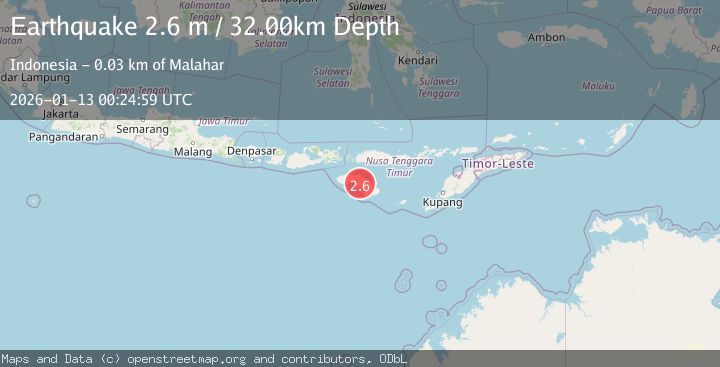
A 2.6 magnitude earthquake struck on SUMBA REGION, INDONESIA, at Tue, 13 Jan 2026 00:24:59 GMT. Depth: 32km. Reviewed by BMKG seismologists, this minor quake occurred at a magnitude type of m.
Magnitude
2.6
m
Source
BMKG
Intensity
-
Agency Reports
1 Sources| Source | Magnitude | Depth | Time |
|---|---|---|---|
| BMKGPrimary | 2.6 | 32 km | 1 month ago |
Earthquake Details
AutomaticEvent IDemsc_BMKG_20260113_0000006
Tsunami PotentialNo
Magnitude Typem
Nearest Places
- Damanahu0.4 km
- Palindi Laikatikan0.5 km
- Palindi Parijawa1.0 km
- Lakahi1.2 km
- Ramuk Lakahi1.4 km
Comments
Join the discussion about this event.
Latest Earthquakes
2.4Mag
Poland
Time20 hours ago
Depth6.10 km
SourceVYT (Automatic)
3.0Mag
near the coast of Antofagasta, Chile
Time20 hours ago
Depth125.49 km
SourceVYT (Automatic)
1.7Mag
Central California
Time20 hours ago
Depth11.60 km
SourceVYT (Automatic)
1.9Mag
Central Alaska
Time20 hours ago
Depth6.84 km
SourceVYT (Automatic)
4.1Mag
Antofagasta, Chile
Time20 hours ago
Depth71.90 km
SourceVYT (Automatic)
Nearby Earthquakes
2.0Mag
Sumba Region, Indonesia
Time2 weeks ago
Depth23.22 km
SourceBMKG (Automatic)
2.6Mag
SUMBA REGION, INDONESIA
Time1 week ago
Depth17.00 km
SourceBMKG (Automatic)
3.0Mag
SUMBA REGION, INDONESIA
Time4 years ago
Depth10.00 km
SourceDJA (Automatic)
3.0Mag
SUMBA REGION, INDONESIA
Time3 years ago
Depth39.00 km
SourceDJA (Automatic)
3.1Mag
SUMBA REGION, INDONESIA
Time1 month ago
Depth62.00 km
SourceBMKG (Automatic)