Earthquake HALMAHERA, INDONESIA
Tue, 13 Jan 2026 11:51:00 GMT
Time1 month ago
Location
2.6400, 128.3900
Depth
186.0 KM
Event Summary
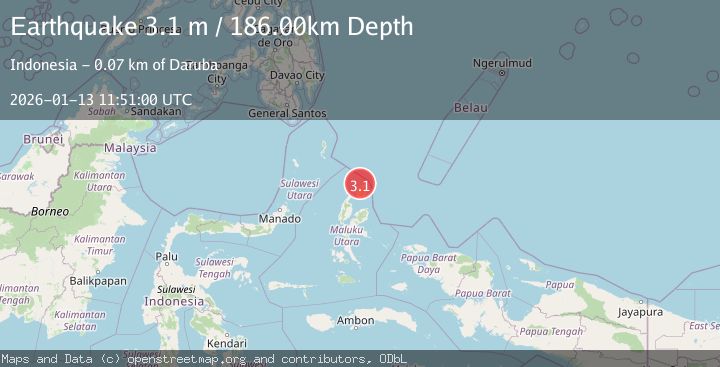
A 3.1 magnitude earthquake struck on HALMAHERA, INDONESIA, at Tue, 13 Jan 2026 11:51:00 GMT. Depth: 186km. Reviewed by BMKG seismologists, this minor quake occurred at a magnitude type of m.
Magnitude
3.1
m
Source
BMKG
Intensity
-
Agency Reports
1 Sources| Source | Magnitude | Depth | Time |
|---|---|---|---|
| BMKGPrimary | 3.1 | 186 km | 1 month ago |
Earthquake Details
AutomaticEvent IDemsc_BMKG_20260113_0000169
Tsunami PotentialNo
Magnitude Typem
Nearest Places
- Tanjung Berri Berri8.9 km
- Tanjung Padangi9.9 km
- Bere Bere10.2 km
- Padangi11.2 km
- Desa Podimor Padange12.5 km
Comments
Join the discussion about this event.
Latest Earthquakes
2.5Mag
Tarapaca, Chile
Time1 hour ago
Depth112.55 km
SourceVYT (Automatic)
2.2Mag
Tarapaca, Chile
Time1 hour ago
Depth111.94 km
SourceVYT (Automatic)
1.9Mag
Central Alaska
Time1 hour ago
Depth32.10 km
SourceVYT (Automatic)
3.4Mag
HAWAII REGION, HAWAII
Time1 hour ago
Depth4.70 km
SourceHV (Automatic)
1.9Mag
STRAIT OF GIBRALTAR
Time1 hour ago
Depth0.00 km
SourceIGN (Automatic)
Nearby Earthquakes
2.8Mag
Halmahera, Indonesia
Time2 days ago
Depth197.66 km
SourceBMKG
5.0Mag
HALMAHERA, INDONESIA
Time19 years ago
Depth49.00 km
SourceEMSC (Automatic)
4.0Mag
HALMAHERA, INDONESIA
Time5 years ago
Depth21.00 km
SourceDJA (Automatic)
5.0Mag
HALMAHERA, INDONESIA
Time13 years ago
Depth144.00 km
SourceEMSC (Automatic)
4.0Mag
HALMAHERA, INDONESIA
Time3 years ago
Depth205.00 km
SourceDJA (Automatic)