Earthquake SOUTH OF JAVA, INDONESIA
Wed, 14 Jan 2026 01:39:13 GMT
Time1 month ago
Location
-9.2800, 112.8200
Depth
62.0 KM
Event Summary
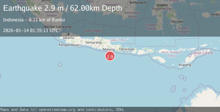
A 2.9 magnitude earthquake struck on SOUTH OF JAVA, INDONESIA, at Wed, 14 Jan 2026 01:39:13 GMT. Depth: 62km. Reviewed by BMKG seismologists, this minor quake occurred at a magnitude type of m.
Magnitude
2.9
m
Source
BMKG
Intensity
-
Agency Reports
1 Sources| Source | Magnitude | Depth | Time |
|---|---|---|---|
| BMKGPrimary | 2.9 | 62 km | 1 month ago |
Earthquake Details
AutomaticEvent IDemsc_BMKG_20260114_0000021
Tsunami PotentialNo
Magnitude Typem
Nearest Places
- Pulau Sleguk91.9 km
- Tanjung Harapan92.1 km
- Pulau Doro92.1 km
- Pulau Pasirpanjang92.3 km
- Pulau Batu Meja92.5 km
Comments
Join the discussion about this event.
Latest Earthquakes
2.5Mag
Bering Strait
Time6 minutes ago
Depth200.07 km
SourceVYT (Automatic)
2.3Mag
Sumbawa Region, Indonesia
Time7 minutes ago
Depth10.00 km
SourceBMKG
1.6Mag
13 km ENE of Falls City, Texas
Time16 minutes ago
Depth7.18 km
SourceUSGS (Automatic)
1.5Mag
EASTERN TURKEY
Time19 minutes ago
Depth7.00 km
SourceAFAD (Automatic)
1.3Mag
5 km S of Cabazon, CA
Time20 minutes ago
Depth5.80 km
SourceUSGS (Automatic)
Nearby Earthquakes
2.8Mag
SOUTH OF JAVA, INDONESIA
Time1 month ago
Depth5.00 km
SourceBMKG (Automatic)
2.8Mag
SOUTH OF JAVA, INDONESIA
Time1 month ago
Depth30.00 km
SourceBMKG (Automatic)
2.7Mag
SOUTH OF JAVA, INDONESIA
Time3 days ago
Depth13.00 km
SourceBMKG (Automatic)
3.9Mag
South of Java, Indonesia
Time1 week ago
Depth23.44 km
SourceBMKG (Automatic)
4.0Mag
SOUTH OF JAVA, INDONESIA
Time6 years ago
Depth10.00 km
SourceDJA (Automatic)