Earthquake NORTHERN SUMATRA, INDONESIA
Wed, 14 Jan 2026 12:37:48 GMT
Time1 month ago
Location
3.8000, 96.0500
Depth
29.0 KM
Event Summary
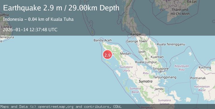
A 2.9 magnitude earthquake struck on NORTHERN SUMATRA, INDONESIA, at Wed, 14 Jan 2026 12:37:48 GMT. Depth: 29km. Reviewed by BMKG seismologists, this minor quake occurred at a magnitude type of m.
Magnitude
2.9
m
Source
BMKG
Intensity
-
Agency Reports
1 Sources| Source | Magnitude | Depth | Time |
|---|---|---|---|
| BMKGPrimary | 2.9 | 29 km | 1 month ago |
Earthquake Details
AutomaticEvent IDemsc_BMKG_20260114_0000149
Tsunami PotentialNo
Magnitude Typem
Nearest Places
- Krueng Tadu34.0 km
- Krueng Trang34.0 km
- Suakjamok34.3 km
- Tadok34.4 km
- Cotmu34.5 km
Comments
Join the discussion about this event.
Latest Earthquakes
1.5Mag
Tarapaca, Chile
Time9 hours ago
Depth1.95 km
SourceVYT (Automatic)
3.8Mag
San Juan, Argentina
Time9 hours ago
Depth173.34 km
SourceVYT (Automatic)
2.2Mag
OKLAHOMA
Time9 hours ago
Depth3.40 km
SourceOK (Automatic)
1.6Mag
Southern Alaska
Time9 hours ago
Depth48.58 km
SourceVYT (Automatic)
2.2Mag
PUERTO RICO
Time9 hours ago
Depth13.80 km
SourcePR (Automatic)
Nearby Earthquakes
3.0Mag
NORTHERN SUMATRA, INDONESIA
Time2 years ago
Depth26.00 km
SourceBMKG (Automatic)
7.2Mag
NORTHERN SUMATRA, INDONESIA
Time15 years ago
Depth48.00 km
SourceEMSC (Automatic)
4.0Mag
NORTHERN SUMATRA, INDONESIA
Time6 years ago
Depth101.00 km
SourceDJA (Automatic)
6.2Mag
NORTHERN SUMATRA, INDONESIA
Time3 years ago
Depth50.00 km
SourceEMSC (Automatic)
5.1Mag
NORTHERN SUMATRA, INDONESIA
Time3 years ago
Depth60.00 km
SourceEMSC (Automatic)