Earthquake NEAR N COAST OF PAPUA, INDONESIA
Wed, 14 Jan 2026 14:28:09 GMT
Time1 month ago
Location
-2.6900, 139.6200
Depth
21.0 KM
Event Summary
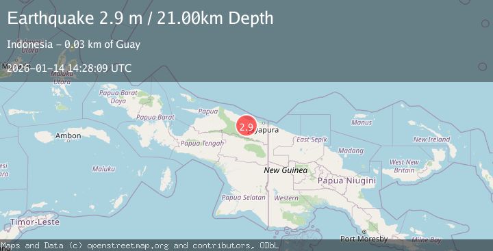
A 2.9 magnitude earthquake struck on NEAR N COAST OF PAPUA, INDONESIA, at Wed, 14 Jan 2026 14:28:09 GMT. Depth: 21km. Reviewed by BMKG seismologists, this minor quake occurred at a magnitude type of m.
Magnitude
2.9
m
Source
BMKG
Intensity
-
Agency Reports
1 Sources| Source | Magnitude | Depth | Time |
|---|---|---|---|
| BMKGPrimary | 2.9 | 55 km | 1 month ago |
Earthquake Details
AutomaticEvent IDemsc_BMKG_20260114_0000180
Tsunami PotentialNo
Magnitude Typem
Comments
Join the discussion about this event.
Latest Earthquakes
1.6Mag
Kenai Peninsula, Alaska
Time1 minute ago
Depth42.60 km
SourceVYT (Automatic)
2.4Mag
Finland
Time4 minutes ago
Depth301.88 km
SourceVYT (Automatic)
1.2Mag
Alaska Peninsula
Time5 minutes ago
Depth0.12 km
SourceVYT (Automatic)
4.1Mag
NEAR COAST OF NORTHERN PERU
Time10 minutes ago
Depth35.00 km
SourceLIM (Automatic)
3.1Mag
DODECANESE IS.-TURKEY BORDER REG
Time11 minutes ago
Depth4.10 km
SourceKOERI (Automatic)
Nearby Earthquakes
3.0Mag
NEAR N COAST OF PAPUA, INDONESIA
Time6 years ago
Depth39.00 km
SourceDJA (Automatic)
3.0Mag
NEAR N COAST OF PAPUA, INDONESIA
Time5 years ago
Depth69.00 km
SourceDJA (Automatic)
5.6Mag
NEAR N COAST OF PAPUA, INDONESIA
Time18 years ago
Depth23.00 km
SourceEMSC (Automatic)
5.1Mag
NEAR N COAST OF PAPUA, INDONESIA
Time8 years ago
Depth108.00 km
SourceEMSC (Automatic)
3.0Mag
NEAR N COAST OF PAPUA, INDONESIA
Time5 months ago
Depth26.00 km
SourceBMKG (Automatic)