Earthquake KEPULAUAN BABAR, INDONESIA
Thu, 15 Jan 2026 04:52:02 GMT
Time1 month ago
Location
-7.0300, 129.2400
Depth
216.0 KM
Event Summary
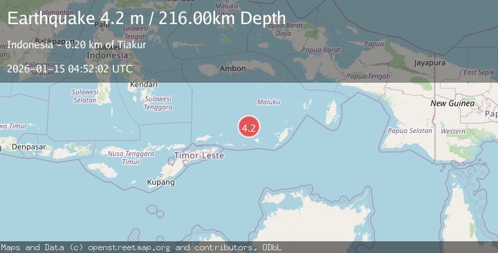
A 4.2 magnitude earthquake struck on KEPULAUAN BABAR, INDONESIA, at Thu, 15 Jan 2026 04:52:02 GMT. Depth: 216km. Reviewed by BMKG seismologists, this light quake occurred at a magnitude type of m.
Magnitude
4.2
m
Source
BMKG
Intensity
-
Agency Reports
1 Sources| Source | Magnitude | Depth | Time |
|---|---|---|---|
| BMKGPrimary | 4.2 | 216 km | 1 month ago |
Earthquake Details
AutomaticEvent IDemsc_BMKG_20260115_0000056
Tsunami PotentialNo
Magnitude Typem
Nearest Places
- Watludan10.6 km
- Isu11.2 km
- Pulau-pulau Damar11.8 km
- Jafila12.1 km
- Pulau Teun12.4 km
Comments
Join the discussion about this event.
Latest Earthquakes
1.3Mag
29 km W of Garden City, Texas
Time6 minutes ago
Depth3.35 km
SourceUSGS (Automatic)
2.1Mag
6 km NE of Beaverdam, Nevada
Time7 minutes ago
Depth11.45 km
SourceUSGS (Automatic)
3.4Mag
NORTH ISLAND OF NEW ZEALAND
Time14 minutes ago
Depth146.90 km
SourceGNS (Automatic)
2.6Mag
WESTERN TURKEY
Time20 minutes ago
Depth7.30 km
SourceKOERI (Automatic)
3.7Mag
YUNNAN, CHINA
Time22 minutes ago
Depth10.00 km
SourceTSB (Automatic)
Nearby Earthquakes
5.4Mag
KEPULAUAN BABAR, INDONESIA
Time15 years ago
Depth179.00 km
SourceEMSC (Automatic)
5.6Mag
KEPULAUAN BABAR, INDONESIA
Time17 years ago
Depth186.00 km
SourceEMSC (Automatic)
5.1Mag
BANDA SEA
Time20 years ago
Depth121.00 km
SourceNEIC (Automatic)
5.7Mag
KEPULAUAN BABAR, INDONESIA
Time5 years ago
Depth189.00 km
SourceEMSC (Automatic)
5.1Mag
KEPULAUAN BABAR, INDONESIA
Time17 years ago
Depth164.00 km
SourceEMSC (Automatic)