Earthquake TIMOR REGION, INDONESIA
Thu, 15 Jan 2026 18:30:26 GMT
Time1 month ago
Location
-9.8900, 123.9300
Depth
64.0 KM
Event Summary
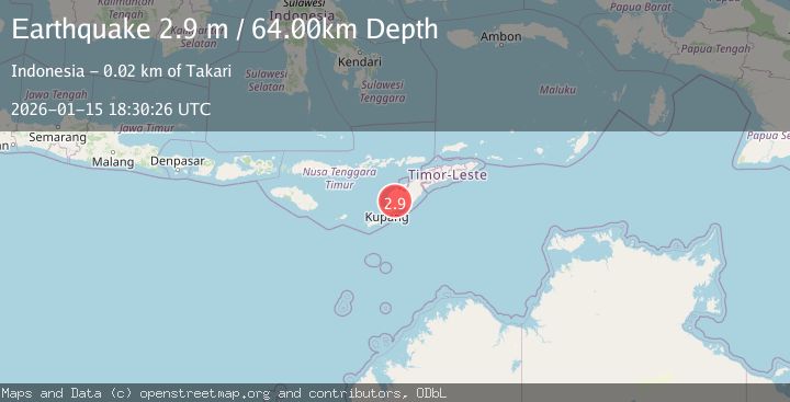
A 2.9 magnitude earthquake struck on TIMOR REGION, INDONESIA, at Thu, 15 Jan 2026 18:30:26 GMT. Depth: 64km. Reviewed by BMKG seismologists, this minor quake occurred at a magnitude type of m.
Magnitude
2.9
m
Source
BMKG
Intensity
-
Agency Reports
1 Sources| Source | Magnitude | Depth | Time |
|---|---|---|---|
| BMKGPrimary | 2.9 | 64 km | 1 month ago |
Earthquake Details
AutomaticEvent IDemsc_BMKG_20260115_0000293
Tsunami PotentialNo
Magnitude Typem
Nearest Places
- Boentuka1.9 km
- Huetba1.9 km
- Bonet Dua2.2 km
- Bonet Satu2.3 km
- Oetulu2.4 km
Comments
Join the discussion about this event.
Latest Earthquakes
1.4Mag
EASTERN TURKEY
Time9 minutes ago
Depth6.80 km
SourceAFAD (Automatic)
1.9Mag
6 km SW of Fuig, Puerto Rico
Time10 minutes ago
Depth13.76 km
SourceUSGS
1.7Mag
northern Alaska
Time10 minutes ago
Depth4.64 km
SourceVYT (Automatic)
1.2Mag
5 km WNW of The Geysers, CA
Time16 minutes ago
Depth3.19 km
SourceUSGS (Automatic)
3.4Mag
Sulawesi, Indonesia
Time19 minutes ago
Depth27.95 km
SourceVYT (Automatic)
Nearby Earthquakes
3.0Mag
TIMOR REGION, INDONESIA
Time11 months ago
Depth10.00 km
SourceBMKG (Automatic)
3.0Mag
TIMOR REGION, INDONESIA
Time11 months ago
Depth10.00 km
SourceBMKG (Automatic)
2.5Mag
TIMOR REGION, INDONESIA
Time1 month ago
Depth83.00 km
SourceBMKG (Automatic)
3.0Mag
TIMOR REGION, INDONESIA
Time1 year ago
Depth91.00 km
SourceBMKG (Automatic)
3.0Mag
TIMOR REGION, INDONESIA
Time3 months ago
Depth28.00 km
SourceBMKG (Automatic)