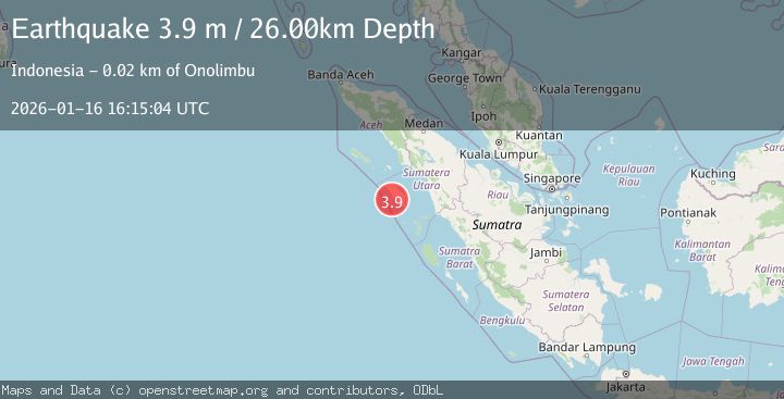
Earthquake NIAS REGION, INDONESIA
Fri, 16 Jan 2026 16:15:04 GMT
Time1 month ago
Location
0.8500, 97.4000
Depth
26.0 KM
Event Summary
A 3.9 magnitude earthquake struck on NIAS REGION, INDONESIA, at Fri, 16 Jan 2026 16:15:04 GMT. Depth: 26km. Reviewed by BMKG seismologists, this minor quake occurred at a magnitude type of m.
Magnitude
3.9
m
Source
BMKG
Intensity
-
Agency Reports
1 Sources| Source | Magnitude | Depth | Time |
|---|---|---|---|
| BMKGPrimary | 3.9 | 27 km | 1 month ago |
Earthquake Details
AutomaticEvent IDemsc_BMKG_20260116_0000283
Tsunami PotentialNo
Magnitude Typem
Nearest Places
- Sakusaku2.4 km
- Pulau Hamutala2.4 km
- Gosong Pinang2.8 km
- Desa Pulau Bogi2.9 km
- Pulau Bugi3.1 km
Comments
Join the discussion about this event.
Latest Earthquakes
1.0Mag
8 km WNW of The Geysers, CA
Time2 minutes ago
Depth0.69 km
SourceUSGS (Automatic)
2.3Mag
SAN FRANCISCO BAY AREA, CALIF.
Time5 minutes ago
Depth8.70 km
SourceNC (Automatic)
2.1Mag
WESTERN TEXAS
Time7 minutes ago
Depth0.00 km
SourceTX (Automatic)
1.9Mag
Tarapaca, Chile
Time11 minutes ago
Depth0.00 km
SourceVYT (Automatic)
1.0Mag
11 km SW of Anza, CA
Time14 minutes ago
Depth8.49 km
SourceUSGS (Automatic)
Nearby Earthquakes
5.2Mag
NIAS REGION, INDONESIA
Time14 years ago
Depth25.00 km
SourceEMSC (Automatic)
5.3Mag
NIAS REGION, INDONESIA
Time13 years ago
Depth2.00 km
SourceEMSC (Automatic)
5.3Mag
NIAS REGION, INDONESIA
Time19 years ago
Depth40.00 km
SourceEMSC (Automatic)
3.0Mag
NIAS REGION, INDONESIA
Time9 months ago
Depth24.00 km
SourceBMKG (Automatic)
4.0Mag
NIAS REGION, INDONESIA
Time1 year ago
Depth14.00 km
SourceBMKG (Automatic)