Earthquake HALMAHERA, INDONESIA
Sat, 17 Jan 2026 06:52:15 GMT
Time1 month ago
Location
1.8200, 127.6300
Depth
102.0 KM
Event Summary
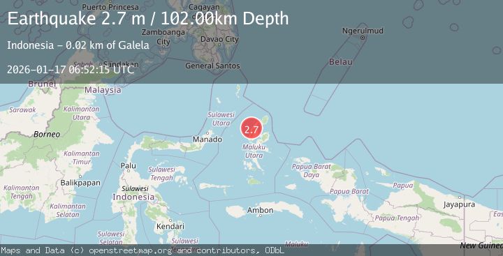
A 2.7 magnitude earthquake struck on HALMAHERA, INDONESIA, at Sat, 17 Jan 2026 06:52:15 GMT. Depth: 102km. Reviewed by BMKG seismologists, this minor quake occurred at a magnitude type of m.
Magnitude
2.7
m
Source
BMKG
Intensity
-
Agency Reports
1 Sources| Source | Magnitude | Depth | Time |
|---|---|---|---|
| BMKGPrimary | 2.7 | 102 km | 1 month ago |
Earthquake Details
AutomaticEvent IDemsc_BMKG_20260117_0000073
Tsunami PotentialNo
Magnitude Typem
Nearest Places
- Tanjung Bakulu0.9 km
- Bakulu1.3 km
- Pulau Bulana1.3 km
- Teluk Bakulu1.6 km
- Aruk1.9 km
Comments
Join the discussion about this event.
Latest Earthquakes
1.8Mag
Southern Alaska
Time2 minutes ago
Depth51.51 km
SourceVYT (Automatic)
1.9Mag
11 km E of Pāhala, Hawaii
Time6 minutes ago
Depth30.61 km
SourceUSGS (Automatic)
3.2Mag
Antofagasta, Chile
Time10 minutes ago
Depth124.27 km
SourceVYT (Automatic)
1.7Mag
Kenai Peninsula, Alaska
Time16 minutes ago
Depth28.44 km
SourceVYT (Automatic)
1.7Mag
Tarapaca, Chile
Time19 minutes ago
Depth6.47 km
SourceVYT (Automatic)
Nearby Earthquakes
3.0Mag
HALMAHERA, INDONESIA
Time4 years ago
Depth16.00 km
SourceDJA (Automatic)
3.0Mag
HALMAHERA, INDONESIA
Time2 years ago
Depth10.00 km
SourceDJA (Automatic)
4.0Mag
HALMAHERA, INDONESIA
Time8 months ago
Depth151.00 km
SourceBMKG (Automatic)
5.4Mag
HALMAHERA, INDONESIA
Time11 years ago
Depth144.00 km
SourceEMSC (Automatic)
3.0Mag
HALMAHERA, INDONESIA
Time3 years ago
Depth43.00 km
SourceDJA (Automatic)