Earthquake MOLUCCA SEA
Sat, 17 Jan 2026 19:42:06 GMT
Time1 month ago
Location
2.4700, 126.1200
Depth
85.0 KM
Event Summary
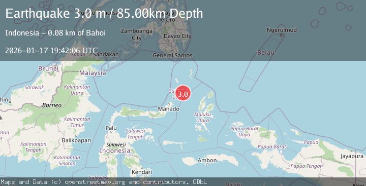
A 3.0 magnitude earthquake struck on MOLUCCA SEA, at Sat, 17 Jan 2026 19:42:06 GMT. Depth: 85km. Reviewed by BMKG seismologists, this minor quake occurred at a magnitude type of m.
Magnitude
3.0
m
Source
BMKG
Intensity
-
Agency Reports
1 Sources| Source | Magnitude | Depth | Time |
|---|---|---|---|
| BMKGPrimary | 3.0 | 85 km | 1 month ago |
Earthquake Details
AutomaticEvent IDemsc_BMKG_20260117_0000225
Tsunami PotentialNo
Magnitude Typem
Nearest Places
- Taman Laut Mahoro73.0 km
- Pulau Mahoro73.3 km
- Pulau Batumapaha73.7 km
- Tonggeng Manandu73.9 km
- Pulau Batuguhita74.1 km
Comments
Join the discussion about this event.
Latest Earthquakes
2.5Mag
West Papua Region, Indonesia
Time6 minutes ago
Depth12.37 km
SourceBMKG
2.6Mag
Antofagasta, Chile
Time7 minutes ago
Depth116.33 km
SourceVYT (Automatic)
1.1Mag
Northern Territory, Australia
Time9 minutes ago
Depth0.00 km
SourceVYT (Automatic)
3.7Mag
NEAR THE COAST OF WESTERN TURKEY
Time13 minutes ago
Depth8.00 km
SourceTHE (Automatic)
2.2Mag
Central Alaska
Time13 minutes ago
Depth131.71 km
SourceVYT (Automatic)
Nearby Earthquakes
5.7Mag
MOLUCCA SEA
Time16 years ago
Depth114.00 km
SourceEMSC (Automatic)
5.0Mag
MOLUCCA SEA
Time3 years ago
Depth80.00 km
SourceEMSC (Automatic)
5.0Mag
MOLUCCA SEA
Time13 years ago
Depth100.00 km
SourceEMSC (Automatic)
3.0Mag
MOLUCCA SEA
Time5 years ago
Depth48.00 km
SourceDJA (Automatic)
4.0Mag
MOLUCCA SEA
Time7 years ago
Depth31.00 km
SourceDJA (Automatic)