Earthquake SUMBA REGION, INDONESIA
Sun, 18 Jan 2026 14:17:44 GMT
Time1 month ago
Location
-9.6100, 120.8500
Depth
56.0 KM
Event Summary
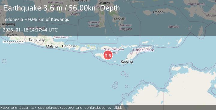
A 3.6 magnitude earthquake struck on SUMBA REGION, INDONESIA, at Sun, 18 Jan 2026 14:17:44 GMT. Depth: 56km. Reviewed by BMKG seismologists, this minor quake occurred at a magnitude type of m.
Magnitude
3.6
m
Source
BMKG
Intensity
-
Agency Reports
1 Sources| Source | Magnitude | Depth | Time |
|---|---|---|---|
| BMKGPrimary | 3.6 | 56 km | 1 month ago |
Earthquake Details
AutomaticEvent IDemsc_BMKG_20260118_0000190
Tsunami PotentialNo
Magnitude Typem
Nearest Places
- Tanjung Tuak31.1 km
- Muripado31.8 km
- Kampungbaru31.9 km
- Tanjung Patawang31.9 km
- Titunoho32.0 km
Comments
Join the discussion about this event.
Latest Earthquakes
1.6Mag
13 km ENE of Falls City, Texas
Time22 hours ago
Depth7.18 km
SourceUSGS (Automatic)
1.5Mag
EASTERN TURKEY
Time22 hours ago
Depth7.00 km
SourceAFAD (Automatic)
1.3Mag
5 km S of Cabazon, CA
Time22 hours ago
Depth5.80 km
SourceUSGS (Automatic)
2.1Mag
Antofagasta, Chile
Time22 hours ago
Depth131.23 km
SourceVYT (Automatic)
2.3Mag
Sulawesi, Indonesia
Time22 hours ago
Depth2.74 km
SourceBMKG
Nearby Earthquakes
2.8Mag
SUMBA REGION, INDONESIA
Time1 month ago
Depth39.00 km
SourceBMKG (Automatic)
3.0Mag
SUMBA REGION, INDONESIA
Time1 month ago
Depth65.00 km
SourceBMKG (Automatic)
2.6Mag
SUMBA REGION, INDONESIA
Time1 month ago
Depth42.00 km
SourceBMKG (Automatic)
2.6Mag
SUMBA REGION, INDONESIA
Time1 month ago
Depth25.00 km
SourceBMKG (Automatic)
3.0Mag
SUMBA REGION, INDONESIA
Time5 years ago
Depth18.00 km
SourceDJA (Automatic)