Earthquake SOUTH OF SUMBAWA, INDONESIA
Mon, 19 Jan 2026 16:00:15 GMT
Time1 month ago
Location
-11.1700, 117.4500
Depth
10.0 KM
Event Summary
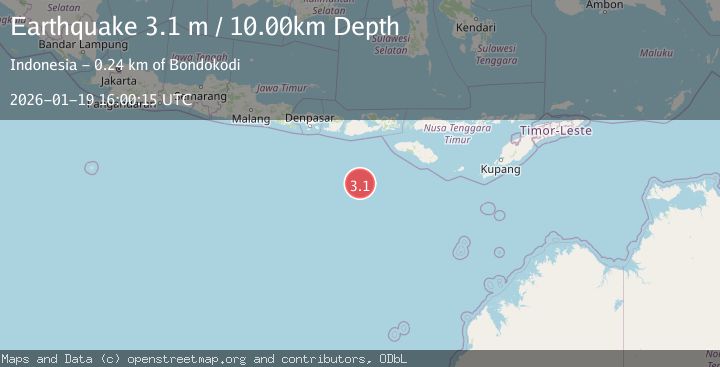
A 3.1 magnitude earthquake struck on SOUTH OF SUMBAWA, INDONESIA, at Mon, 19 Jan 2026 16:00:15 GMT. Depth: 10km. Reviewed by BMKG seismologists, this minor quake occurred at a magnitude type of m.
Magnitude
3.1
m
Source
BMKG
Intensity
-
Agency Reports
1 Sources| Source | Magnitude | Depth | Time |
|---|---|---|---|
| BMKGPrimary | 3.1 | 10 km | 1 month ago |
Earthquake Details
AutomaticEvent IDemsc_BMKG_20260119_0000208
Tsunami PotentialNo
Magnitude Typem
Nearest Places
- Corona Bank187.8 km
- Lombok Basin217.3 km
- Tanjung Talonan232.8 km
- Tanu Tanjunglilin233.8 km
- Tanjung Liongsong233.9 km
Comments
Join the discussion about this event.
Latest Earthquakes
3.6Mag
Fox Islands, Aleutian Islands, Alaska
Time2 minutes ago
Depth28.81 km
SourceVYT (Automatic)
1.3Mag
Washington
Time3 minutes ago
Depth0.00 km
SourceVYT (Automatic)
2.0Mag
Antofagasta, Chile
Time5 minutes ago
Depth28.32 km
SourceVYT (Automatic)
1.2Mag
Central Alaska
Time5 minutes ago
Depth0.00 km
SourceVYT (Automatic)
2.1Mag
Sulawesi, Indonesia
Time6 minutes ago
Depth7.10 km
SourceBMKG
Nearby Earthquakes
3.0Mag
SOUTH OF SUMBAWA, INDONESIA
Time1 month ago
Depth10.00 km
SourceBMKG (Automatic)
2.9Mag
SOUTH OF SUMBAWA, INDONESIA
Time1 month ago
Depth10.00 km
SourceBMKG (Automatic)
3.0Mag
South of Sumbawa, Indonesia
Time3 weeks ago
Depth35.20 km
SourceBMKG (Automatic)
3.2Mag
South of Sumbawa, Indonesia
Time1 week ago
Depth10.00 km
SourceBMKG (Automatic)
3.0Mag
SOUTH OF SUMBAWA, INDONESIA
Time1 month ago
Depth25.00 km
SourceBMKG (Automatic)