Earthquake SUMBAWA REGION, INDONESIA
Tue, 20 Jan 2026 14:13:39 GMT
Time0 months ago
Location
-8.2400, 117.9200
Depth
27.0 KM
Event Summary
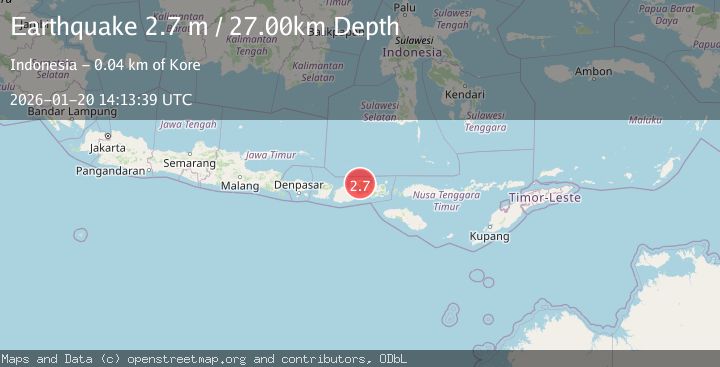
A 2.7 magnitude earthquake struck on SUMBAWA REGION, INDONESIA, at Tue, 20 Jan 2026 14:13:39 GMT. Depth: 27km. Reviewed by BMKG seismologists, this minor quake occurred at a magnitude type of m.
Magnitude
2.7
m
Source
BMKG
Intensity
-
Agency Reports
1 Sources| Source | Magnitude | Depth | Time |
|---|---|---|---|
| BMKGPrimary | 2.7 | 27 km | 0 months ago |
Earthquake Details
AutomaticEvent IDemsc_BMKG_20260120_0000218
Tsunami PotentialNo
Magnitude Typem
Nearest Places
- Gunung Tambora4.3 km
- Desa Doro Peti7.8 km
- Desa Oi Bura9.1 km
- Desa Tambora9.2 km
- Kecamatan Tambora9.6 km
Comments
Join the discussion about this event.
Latest Earthquakes
0.6Mag
12 km SE of Anza, CA
Time11 minutes ago
Depth6.49 km
SourceUSGS (Automatic)
2.6Mag
western Texas
Time13 minutes ago
Depth12.70 km
SourceVYT (Automatic)
2.0Mag
Sumbawa Region, Indonesia
Time14 minutes ago
Depth21.49 km
SourceBMKG
1.0Mag
Southern Alaska
Time14 minutes ago
Depth1.34 km
SourceVYT (Automatic)
1.7Mag
Dead Sea region
Time16 minutes ago
Depth0.00 km
SourceVYT (Automatic)
Nearby Earthquakes
2.5Mag
Sumbawa Region, Indonesia
Time3 weeks ago
Depth27.17 km
SourceBMKG (Automatic)
3.0Mag
SUMBAWA REGION, INDONESIA
Time3 years ago
Depth23.00 km
SourceDJA (Automatic)
3.0Mag
SUMBAWA REGION, INDONESIA
Time4 years ago
Depth50.00 km
SourceDJA (Automatic)
3.0Mag
SUMBAWA REGION, INDONESIA
Time8 months ago
Depth10.00 km
SourceBMKG (Automatic)
2.4Mag
Sumbawa Region, Indonesia
Time3 weeks ago
Depth29.80 km
SourceBMKG (Automatic)