Earthquake SOUTHERN SUMATRA, INDONESIA
Tue, 03 Feb 2026 12:20:07 GMT
Time2 weeks ago
Location
-4.5800, 102.7800
Depth
45.0 KM
Event Summary
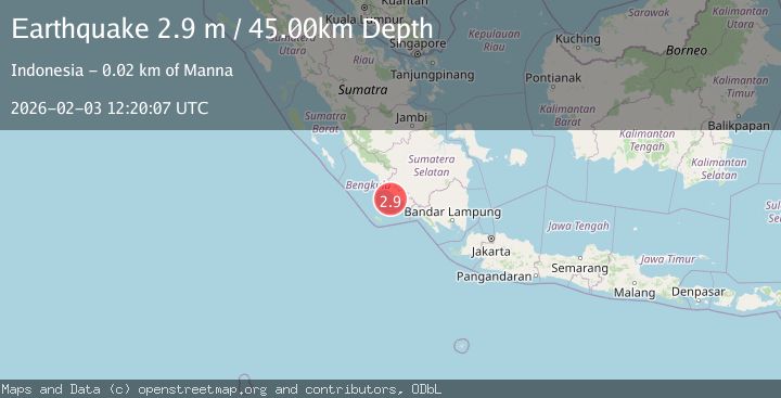
A 2.9 magnitude earthquake struck on SOUTHERN SUMATRA, INDONESIA, at Tue, 03 Feb 2026 12:20:07 GMT. Depth: 45km. Reviewed by BMKG seismologists, this minor quake occurred at a magnitude type of m.
Magnitude
2.9
m
Source
BMKG
Intensity
-
Agency Reports
1 Sources| Source | Magnitude | Depth | Time |
|---|---|---|---|
| BMKGPrimary | 2.9 | 45 km | 2 weeks ago |
Earthquake Details
AutomaticEvent IDemsc_BMKG_20260203_0000172
Tsunami PotentialNo
Magnitude Typem
Nearest Places
- Air Manna16.8 km
- Tanjung Manna17.1 km
- Desa Ketaping17.8 km
- Kelurahan Pasar Bawah17.8 km
- Tegrulung17.9 km
Comments
Join the discussion about this event.
Latest Earthquakes
0.8Mag
43 km SSW of Cantwell, Alaska
Time2 minutes ago
Depth8.60 km
SourceUSGS (Automatic)
2.3Mag
northwestern Russia
Time6 minutes ago
Depth0.00 km
SourceVYT (Automatic)
1.1Mag
7 km WSW of Corona, CA
Time6 minutes ago
Depth22.23 km
SourceUSGS (Automatic)
1.6Mag
60 km S of Whites City, New Mexico
Time8 minutes ago
Depth4.19 km
SourceUSGS (Automatic)
2.3Mag
Poland
Time13 minutes ago
Depth0.00 km
SourceVYT (Automatic)
Nearby Earthquakes
5.2Mag
SOUTHERN SUMATRA, INDONESIA
Time13 years ago
Depth80.00 km
SourceEMSC (Automatic)
3.0Mag
SOUTHERN SUMATRA, INDONESIA
Time3 years ago
Depth37.00 km
SourceDJA (Automatic)
3.0Mag
SOUTHERN SUMATRA, INDONESIA
Time8 months ago
Depth34.00 km
SourceBMKG (Automatic)
5.3Mag
SOUTHERN SUMATRA, INDONESIA
Time7 years ago
Depth68.00 km
SourceEMSC (Automatic)
3.0Mag
SOUTHERN SUMATRA, INDONESIA
Time3 years ago
Depth39.00 km
SourceDJA (Automatic)