Earthquake ATACAMA, CHILE
Mon, 16 Feb 2026 14:04:39 GMT
Time2 days ago
Location
-26.6600, -70.5500
Depth
74.2 KM
Event Summary
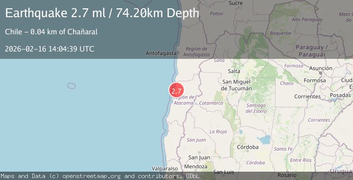
A 2.7 magnitude earthquake struck on ATACAMA, CHILE, at Mon, 16 Feb 2026 14:04:39 GMT. Depth: 74.2km. Reviewed by CSN seismologists, this minor quake occurred at a magnitude type of ml.
Magnitude
2.7
ml
Source
CSN
Intensity
-
Agency Reports
1 Sources| Source | Magnitude | Depth | Time |
|---|---|---|---|
| CSNPrimary | 2.7 | 74 km | 2 days ago |
Earthquake Details
AutomaticEvent IDemsc_CSN_20260216_0000202
Tsunami PotentialNo
Magnitude Typeml
Nearest Places
- Quebrada El Yeso1.3 km
- Cerro Agua de la Brea2.3 km
- Quebrada La Chillaneja3.4 km
- Aguada La Escondida4.5 km
- Aguada La Chillaneja5.0 km
Comments
Join the discussion about this event.
Latest Earthquakes
2.2Mag
Sumbawa Region, Indonesia
Time14 hours ago
Depth6.19 km
SourceBMKG
3.2Mag
SOUTH ISLAND OF NEW ZEALAND
Time14 hours ago
Depth11.90 km
SourceGNS (Automatic)
2.8Mag
Antofagasta, Chile
Time14 hours ago
Depth67.26 km
SourceVYT (Automatic)
1.9Mag
13 km SSE of Volcano, Hawaii
Time14 hours ago
Depth2.02 km
SourceUSGS (Automatic)
1.8Mag
northern Alaska
Time14 hours ago
Depth223.88 km
SourceVYT (Automatic)
Nearby Earthquakes
3.0Mag
ATACAMA, CHILE
Time1 week ago
Depth51.60 km
SourceCSN (Automatic)
3.1Mag
ATACAMA, CHILE
Time1 month ago
Depth33.30 km
SourceCSN (Automatic)
6.4Mag
ATACAMA, CHILE
Time8 months ago
Depth73.40 km
SourceEMSC (Automatic)
3.0Mag
ATACAMA, CHILE
Time11 years ago
Depth39.00 km
SourceGUC (Automatic)
3.0Mag
ATACAMA, CHILE
Time9 years ago
Depth51.00 km
SourceGUC (Automatic)