Earthquake SOUTHERN SUMATRA, INDONESIA
Fri, 07 Feb 2020 15:15:34 GMT
Time6 years ago
Location
-3.2600, 101.0900
Depth
120.0 KM
Event Summary
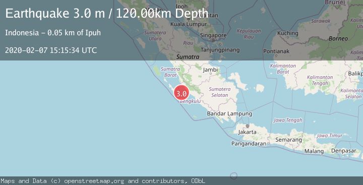
A 3.0 magnitude earthquake struck on SOUTHERN SUMATRA, INDONESIA, at Fri, 07 Feb 2020 15:15:34 GMT. Depth: 120km. Reviewed by DJA seismologists, this minor quake occurred at a magnitude type of m.
Magnitude
3.0
m
Source
DJA
Intensity
-
Agency Reports
1 Sources| Source | Magnitude | Depth | Time |
|---|---|---|---|
| DJAPrimary | 3.0 | 120 km | 6 years ago |
Earthquake Details
AutomaticEvent IDemsc_DJA_20200207_0000162
Tsunami PotentialNo
Magnitude Typem
Nearest Places
- Pulau Situpai49.8 km
- Sungai Merusu50.8 km
- Air Retak50.8 km
- Sungai Pisang50.8 km
- Sungai Dua50.8 km
Comments
Join the discussion about this event.
Latest Earthquakes
2.9Mag
Potosi, Bolivia
Time1 minute ago
Depth330.08 km
SourceVYT (Automatic)
1.4Mag
4 km W of Lake Henshaw, CA
Time8 minutes ago
Depth12.20 km
SourceUSGS (Automatic)
3.6Mag
Southeastern Alaska
Time9 minutes ago
Depth0.00 km
SourceVYT (Automatic)
2.5Mag
West Papua Region, Indonesia
Time11 minutes ago
Depth10.00 km
SourceBMKG
2.2Mag
Tarapaca, Chile
Time15 minutes ago
Depth103.76 km
SourceVYT (Automatic)
Nearby Earthquakes
5.0Mag
SOUTHERN SUMATRA, INDONESIA
Time18 years ago
Depth40.00 km
SourceEMSC (Automatic)
3.0Mag
SOUTHERN SUMATRA, INDONESIA
Time2 months ago
Depth22.00 km
SourceBMKG (Automatic)
6.0Mag
KEP. MENTAWAI REGION, INDONESIA
Time18 years ago
Depth46.00 km
SourceEMSC (Automatic)
5.6Mag
SOUTHERN SUMATRA, INDONESIA
Time18 years ago
Depth22.00 km
SourceEMSC (Automatic)
3.0Mag
SOUTHERN SUMATRA, INDONESIA
Time2 years ago
Depth14.00 km
SourceBMKG (Automatic)