Earthquake SOUTHERN SUMATRA, INDONESIA
Sat, 08 Feb 2020 18:58:03 GMT
Time6 years ago
Location
-5.4400, 102.0200
Depth
38.0 KM
Event Summary
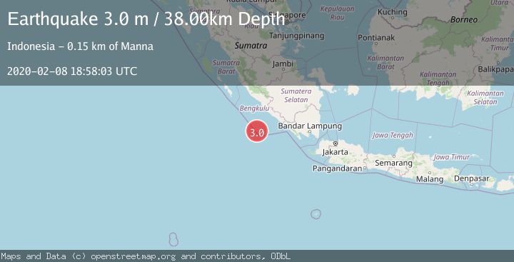
A 3.0 magnitude earthquake struck on SOUTHERN SUMATRA, INDONESIA, at Sat, 08 Feb 2020 18:58:03 GMT. Depth: 38km. Reviewed by DJA seismologists, this minor quake occurred at a magnitude type of m.
Magnitude
3.0
m
Source
DJA
Intensity
-
Agency Reports
1 Sources| Source | Magnitude | Depth | Time |
|---|---|---|---|
| DJAPrimary | 3.0 | 38 km | 6 years ago |
Earthquake Details
AutomaticEvent IDemsc_DJA_20200208_0000199
Tsunami PotentialNo
Magnitude Typem
Nearest Places
- Tanjung Kooma13.7 km
- Gunung Dupaaube14.9 km
- Desa Banjar Sari17.9 km
- Pahanumo18.4 km
- Kiojoh20.2 km
Comments
Join the discussion about this event.
Latest Earthquakes
2.2Mag
western Texas
Time1 minute ago
Depth0.24 km
SourceVYT (Automatic)
2.2Mag
Valparaiso, Chile
Time3 minutes ago
Depth22.83 km
SourceVYT (Automatic)
4.5Mag
Central Alaska
Time4 minutes ago
Depth7.81 km
SourceVYT (Automatic)
1.9Mag
1 km SSW of Pāhala, Hawaii
Time8 minutes ago
Depth28.47 km
SourceUSGS (Automatic)
1.5Mag
5 km NW of The Geysers, CA
Time9 minutes ago
Depth2.47 km
SourceUSGS (Automatic)
Nearby Earthquakes
5.1Mag
SOUTHWEST OF SUMATRA, INDONESIA
Time19 years ago
Depth30.00 km
SourceEMSC (Automatic)
4.0Mag
SOUTHERN SUMATRA, INDONESIA
Time3 years ago
Depth24.00 km
SourceDJA (Automatic)
5.0Mag
SOUTHERN SUMATRA, INDONESIA
Time18 years ago
Depth40.00 km
SourceEMSC (Automatic)
5.0Mag
SOUTHWEST OF SUMATRA, INDONESIA
Time17 years ago
Depth30.00 km
SourceEMSC (Automatic)
5.3Mag
SOUTHERN SUMATRA, INDONESIA
Time6 years ago
Depth30.00 km
SourceEMSC (Automatic)