Earthquake SOUTHERN SUMATRA, INDONESIA
Wed, 12 Feb 2020 23:07:42 GMT
Time6 years ago
Location
-4.5000, 101.9900
Depth
47.0 KM
Event Summary
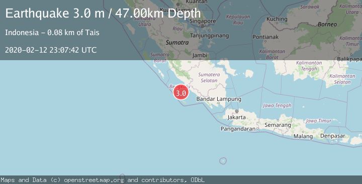
A 3.0 magnitude earthquake struck on SOUTHERN SUMATRA, INDONESIA, at Wed, 12 Feb 2020 23:07:42 GMT. Depth: 47km. Reviewed by DJA seismologists, this minor quake occurred at a magnitude type of m.
Magnitude
3.0
m
Source
DJA
Intensity
-
Agency Reports
1 Sources| Source | Magnitude | Depth | Time |
|---|---|---|---|
| DJAPrimary | 3.0 | 47 km | 6 years ago |
Earthquake Details
AutomaticEvent IDemsc_DJA_20200212_0000179
Tsunami PotentialNo
Magnitude Typem
Nearest Places
- Lebar Reef65.4 km
- Air Kungkauunak66.6 km
- Air Kungkai67.0 km
- Air Ngalam67.3 km
- Pasarkungkai67.3 km
Comments
Join the discussion about this event.
Latest Earthquakes
3.7Mag
Tarapaca, Chile
Time10 hours ago
Depth0.00 km
SourceVYT (Automatic)
0.6Mag
Southern Alaska
Time10 hours ago
Depth0.00 km
SourceVYT (Automatic)
2.3Mag
Antofagasta, Chile
Time10 hours ago
Depth123.90 km
SourceVYT (Automatic)
2.7Mag
Tarapaca, Chile
Time10 hours ago
Depth47.00 km
SourceVYT (Automatic)
1.3Mag
Southeastern Alaska
Time10 hours ago
Depth0.00 km
SourceVYT (Automatic)
Nearby Earthquakes
4.0Mag
SOUTHERN SUMATRA, INDONESIA
Time3 months ago
Depth11.00 km
SourceBMKG (Automatic)
5.3Mag
SOUTHERN SUMATRA, INDONESIA
Time6 years ago
Depth10.00 km
SourceEMSC (Automatic)
4.0Mag
SOUTHERN SUMATRA, INDONESIA
Time3 years ago
Depth10.00 km
SourceNEIC (Automatic)
5.3Mag
SOUTHERN SUMATRA, INDONESIA
Time15 years ago
Depth42.00 km
SourceEMSC (Automatic)
5.0Mag
SOUTHERN SUMATRA, INDONESIA
Time1 year ago
Depth37.00 km
SourceEMSC (Automatic)