Earthquake KEPULAUAN TALAUD, INDONESIA
Fri, 19 Feb 2021 20:00:01 GMT
Time5 years ago
Location
3.6400, 126.7200
Depth
62.0 KM
Event Summary
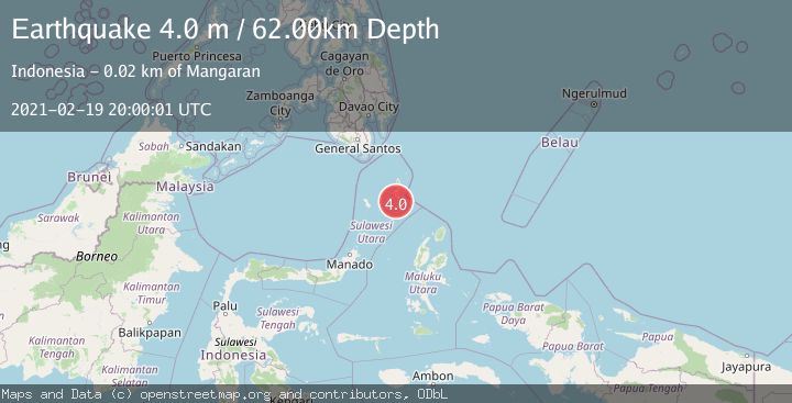
A 4.0 magnitude earthquake struck on KEPULAUAN TALAUD, INDONESIA, at Fri, 19 Feb 2021 20:00:01 GMT. Depth: 62km. Reviewed by DJA seismologists, this light quake occurred at a magnitude type of m.
Magnitude
4.0
m
Source
DJA
Intensity
-
Agency Reports
1 Sources| Source | Magnitude | Depth | Time |
|---|---|---|---|
| DJAPrimary | 4.0 | 62 km | 5 years ago |
Earthquake Details
AutomaticEvent IDemsc_DJA_20210219_0000162
Tsunami PotentialNo
Magnitude Typem
Nearest Places
- Tanjung Panii13.9 km
- Pangeran14.8 km
- Peret15.0 km
- Tanjung Pallo15.0 km
- Desa Peret15.3 km
Comments
Join the discussion about this event.
Latest Earthquakes
2.4Mag
Finland
Time3 minutes ago
Depth2.32 km
SourceVYT (Automatic)
1.9Mag
Central Alaska
Time4 minutes ago
Depth0.00 km
SourceVYT (Automatic)
1.9Mag
northern Alaska
Time8 minutes ago
Depth10.00 km
SourceVYT (Automatic)
0.9Mag
Washington
Time9 minutes ago
Depth0.00 km
SourceVYT (Automatic)
3.1Mag
Savu Sea
Time13 minutes ago
Depth119.50 km
SourceBMKG
Nearby Earthquakes
3.4Mag
KEPULAUAN TALAUD, INDONESIA
Time1 month ago
Depth10.00 km
SourceBMKG (Automatic)
3.1Mag
KEPULAUAN TALAUD, INDONESIA
Time1 month ago
Depth18.00 km
SourceBMKG (Automatic)
3.0Mag
KEPULAUAN TALAUD, INDONESIA
Time3 years ago
Depth20.00 km
SourceDJA (Automatic)
5.7Mag
KEPULAUAN TALAUD, INDONESIA
Time16 years ago
Depth60.00 km
SourceEMSC (Automatic)
5.2Mag
KEPULAUAN TALAUD, INDONESIA
Time15 years ago
Depth60.00 km
SourceEMSC (Automatic)