Earthquake PHILIPPINE ISLANDS REGION
Mon, 16 Aug 2021 22:22:36 GMT
Time4 years ago
Location
5.4700, 127.2600
Depth
73.0 KM
Event Summary
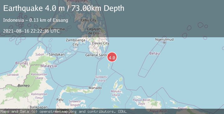
A 4.0 magnitude earthquake struck on PHILIPPINE ISLANDS REGION, at Mon, 16 Aug 2021 22:22:36 GMT. Depth: 73km. Reviewed by DJA seismologists, this light quake occurred at a magnitude type of m.
Magnitude
4.0
m
Source
DJA
Intensity
-
Agency Reports
1 Sources| Source | Magnitude | Depth | Time |
|---|---|---|---|
| DJAPrimary | 4.0 | 73 km | 4 years ago |
Earthquake Details
AutomaticEvent IDemsc_DJA_20210816_0000206
Tsunami PotentialNo
Magnitude Typem
Nearest Places
- Tanjung Dapapa75.0 km
- Desa Pulau Miangas75.5 km
- Kecamatan Miangas75.5 km
- Pulau Miangas75.5 km
- Pulau Baronto75.6 km
Comments
Join the discussion about this event.
Latest Earthquakes
1.9Mag
Finland
Time7 minutes ago
Depth1.22 km
SourceVYT (Automatic)
1.3Mag
Southern Alaska
Time7 minutes ago
Depth16.36 km
SourceVYT (Automatic)
0.7Mag
7 km W of Cobb, CA
Time7 minutes ago
Depth2.05 km
SourceUSGS (Automatic)
2.2Mag
Tarapaca, Chile
Time11 minutes ago
Depth16.97 km
SourceVYT (Automatic)
1.8Mag
24 km ESE of Naalehu, Hawaii
Time14 minutes ago
Depth31.03 km
SourceUSGS (Automatic)
Nearby Earthquakes
3.0Mag
PHILIPPINE ISLANDS REGION
Time3 years ago
Depth15.00 km
SourcePIVS (Automatic)
3.0Mag
PHILIPPINE ISLANDS REGION
Time2 years ago
Depth85.00 km
SourcePIVS (Automatic)
3.0Mag
PHILIPPINE ISLANDS REGION
Time5 years ago
Depth164.00 km
SourcePIVS (Automatic)
3.0Mag
PHILIPPINE ISLANDS REGION
Time1 year ago
Depth92.00 km
SourcePIVS (Automatic)
3.0Mag
PHILIPPINE ISLANDS REGION
Time5 years ago
Depth15.00 km
SourcePIVS (Automatic)