Earthquake PAPUA, INDONESIA
Fri, 26 Nov 2004 02:25:08 GMT
Time21 years ago
Location
-3.0200, 135.2300
Depth
33.0 KM
Event Summary
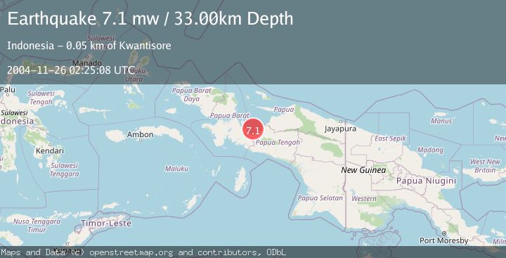
A 7.1 magnitude earthquake struck on PAPUA, INDONESIA, at Fri, 26 Nov 2004 02:25:08 GMT. Depth: 33km. Reviewed by EMSC seismologists, this major quake occurred at a magnitude type of mw.
Magnitude
7.1
mw
Source
EMSC
Intensity
-
Agency Reports
1 Sources| Source | Magnitude | Depth | Time |
|---|---|---|---|
| EMSCPrimary | 7.1 | 33 km | 21 years ago |
Earthquake Details
AutomaticEvent IDemsc_EMSC_20041126_0000018
Tsunami PotentialNo
Magnitude Typemw
Nearest Places
- Teluk Cendrawasih10.8 km
- Pulau Nutabari12.3 km
- Pulau Kerei17.3 km
- Pulau Kumbur19.9 km
- Pulau Aikei20.2 km
Comments
Join the discussion about this event.
Latest Earthquakes
2.6Mag
Antofagasta, Chile
Time3 minutes ago
Depth0.00 km
SourceVYT (Automatic)
2.8Mag
Fox Islands, Aleutian Islands, Alaska
Time6 minutes ago
Depth80.44 km
SourceVYT (Automatic)
0.9Mag
110 km S of McCarthy, Alaska
Time8 minutes ago
Depth18.50 km
SourceUSGS (Automatic)
3.0Mag
Central Alaska
Time9 minutes ago
Depth0.12 km
SourceVYT (Automatic)
2.5Mag
Minahassa Peninsula, Sulawesi
Time10 minutes ago
Depth4.95 km
SourceBMKG
Nearby Earthquakes
3.6Mag
West Papua Region, Indonesia
Time3 weeks ago
Depth10.00 km
SourceBMKG (Automatic)
6.0Mag
PAPUA, INDONESIA
Time13 years ago
Depth10.00 km
SourceEMSC (Automatic)
5.6Mag
PAPUA, INDONESIA
Time21 years ago
Depth33.00 km
SourceEMSC (Automatic)
4.0Mag
PAPUA, INDONESIA
Time11 months ago
Depth14.00 km
SourceBMKG (Automatic)
2.8Mag
PAPUA, INDONESIA
Time1 month ago
Depth31.00 km
SourceBMKG (Automatic)