Earthquake NICOBAR ISLANDS, INDIA REGION
Sun, 26 Dec 2004 02:00:44 GMT
Time21 years ago
Location
7.6500, 94.2700
Depth
33.0 KM
Event Summary
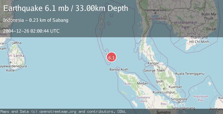
A 6.1 magnitude earthquake struck on NICOBAR ISLANDS, INDIA REGION, at Sun, 26 Dec 2004 02:00:44 GMT. Depth: 33km. Reviewed by EMSC seismologists, this strong quake occurred at a magnitude type of mb.
Magnitude
6.1
mb
Source
EMSC
Intensity
-
Agency Reports
1 Sources| Source | Magnitude | Depth | Time |
|---|---|---|---|
| EMSCPrimary | 6.1 | 33 km | 21 years ago |
Earthquake Details
AutomaticEvent IDemsc_EMSC_20041226_0000078
Tsunami PotentialNo
Magnitude Typemb
Nearest Places
- 61.7 km
- 62.0 km
- 66.8 km
- 66.8 km
- 67.8 km
Comments
Join the discussion about this event.
Latest Earthquakes
1.4Mag
88 km SSE of Kokhanok, Alaska
Time2 minutes ago
Depth11.90 km
SourceUSGS (Automatic)
2.3Mag
NORTHERN CALIFORNIA
Time3 minutes ago
Depth11.90 km
SourceNC (Automatic)
1.0Mag
9 km WNW of The Geysers, CA
Time9 minutes ago
Depth1.92 km
SourceUSGS (Automatic)
2.2Mag
Flores Sea
Time13 minutes ago
Depth34.54 km
SourceBMKG
2.3Mag
ISLAND OF HAWAII, HAWAII
Time15 minutes ago
Depth33.90 km
SourceHV (Automatic)
Nearby Earthquakes
5.0Mag
NICOBAR ISLANDS, INDIA REGION
Time6 years ago
Depth10.00 km
SourceEMSC (Automatic)
5.2Mag
NICOBAR ISLANDS, INDIA REGION
Time6 years ago
Depth10.00 km
SourceEMSC (Automatic)
5.1Mag
NICOBAR ISLANDS, INDIA REGION
Time6 years ago
Depth10.00 km
SourceEMSC (Automatic)
5.2Mag
NICOBAR ISLANDS, INDIA REGION
Time6 years ago
Depth10.00 km
SourceEMSC (Automatic)
5.1Mag
NICOBAR ISLANDS, INDIA REGION
Time6 years ago
Depth10.00 km
SourceEMSC (Automatic)