Earthquake SOUTH OF JAVA, INDONESIA
Mon, 17 Jul 2006 10:09:03 GMT
Time19 years ago
Location
-9.0900, 107.6900
Depth
2.0 KM
Event Summary
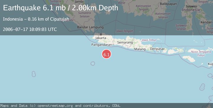
A 6.1 magnitude earthquake struck on SOUTH OF JAVA, INDONESIA, at Mon, 17 Jul 2006 10:09:03 GMT. Depth: 2km. Reviewed by EMSC seismologists, this strong quake occurred at a magnitude type of mb.
Magnitude
6.1
mb
Source
EMSC
Intensity
-
Agency Reports
1 Sources| Source | Magnitude | Depth | Time |
|---|---|---|---|
| EMSCPrimary | 6.1 | 40 km | 19 years ago |
Earthquake Details
AutomaticEvent IDemsc_EMSC_20060717_0000066
Tsunami PotentialNo
Magnitude Typemb
Nearest Places
- Java Ridge150.8 km
- Ci Punagar151.5 km
- Ci Bako151.6 km
- Ci Cukangjambe151.7 km
- Ci Palawah151.7 km
Comments
Join the discussion about this event.
Latest Earthquakes
1.2Mag
Southern Alaska
Time7 minutes ago
Depth37.11 km
SourceVYT (Automatic)
3.0Mag
Seram, Indonesia
Time7 minutes ago
Depth12.36 km
SourceBMKG
1.1Mag
Washington
Time11 minutes ago
Depth9.64 km
SourceVYT (Automatic)
1.3Mag
WESTERN TURKEY
Time11 minutes ago
Depth8.60 km
SourceAFAD (Automatic)
1.9Mag
32 km NW of Toyah, Texas
Time13 minutes ago
Depth4.09 km
SourceUSGS (Automatic)
Nearby Earthquakes
5.4Mag
SOUTH OF JAVA, INDONESIA
Time19 years ago
Depth30.00 km
SourceEMSC (Automatic)
5.2Mag
SOUTH OF JAVA, INDONESIA
Time14 years ago
Depth46.00 km
SourceEMSC (Automatic)
5.3Mag
SOUTH OF JAVA, INDONESIA
Time17 years ago
Depth66.00 km
SourceEMSC (Automatic)
5.2Mag
SOUTH OF JAVA, INDONESIA
Time19 years ago
Depth10.00 km
SourceEMSC (Automatic)
5.2Mag
SOUTH OF JAVA, INDONESIA
Time19 years ago
Depth30.00 km
SourceEMSC (Automatic)