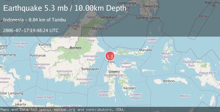
Earthquake MINAHASA, SULAWESI, INDONESIA
Mon, 17 Jul 2006 19:48:24 GMT
Time19 years ago
Location
0.2500, 119.7500
Depth
10.0 KM
Event Summary
A 5.3 magnitude earthquake struck on MINAHASA, SULAWESI, INDONESIA, at Mon, 17 Jul 2006 19:48:24 GMT. Depth: 10km. Reviewed by EMSC seismologists, this moderate quake occurred at a magnitude type of mb.
Magnitude
5.3
mb
Source
EMSC
Intensity
-
Agency Reports
1 Sources| Source | Magnitude | Depth | Time |
|---|---|---|---|
| EMSCPrimary | 5.3 | 10 km | 19 years ago |
Earthquake Details
AutomaticEvent IDemsc_EMSC_20060717_0000096
Tsunami PotentialNo
Magnitude Typemb
Nearest Places
- Tando Dampelas4.8 km
- Bulur Sitaru8.0 km
- Desa Talaga9.5 km
- Bangkalang Aluoge10.9 km
- Bulur Sitangke12.3 km
Comments
Join the discussion about this event.
Latest Earthquakes
0.9Mag
Washington
Time8 hours ago
Depth0.61 km
SourceVYT (Automatic)
1.8Mag
59 km S of Whites City, New Mexico
Time8 hours ago
Depth4.51 km
SourceUSGS (Automatic)
2.4Mag
Antofagasta, Chile
Time8 hours ago
Depth0.00 km
SourceVYT (Automatic)
2.2Mag
Sumbawa Region, Indonesia
Time9 hours ago
Depth125.89 km
SourceBMKG
1.0Mag
8 km WNW of The Geysers, CA
Time9 hours ago
Depth0.69 km
SourceUSGS (Automatic)
Nearby Earthquakes
5.5Mag
MINAHASA, SULAWESI, INDONESIA
Time12 years ago
Depth40.00 km
SourceEMSC (Automatic)
2.5Mag
Minahassa Peninsula, Sulawesi
Time1 week ago
Depth16.74 km
SourceBMKG (Automatic)
5.0Mag
MINAHASA, SULAWESI, INDONESIA
Time6 years ago
Depth51.00 km
SourceEMSC (Automatic)
2.3Mag
Minahassa Peninsula, Sulawesi
Time2 weeks ago
Depth36.20 km
SourceBMKG (Automatic)
3.0Mag
MINAHASA, SULAWESI, INDONESIA
Time3 years ago
Depth16.00 km
SourceDJA (Automatic)