Earthquake MOLUCCA SEA
Tue, 18 Jul 2006 03:27:50 GMT
Time19 years ago
Location
-0.1800, 125.0400
Depth
33.0 KM
Event Summary
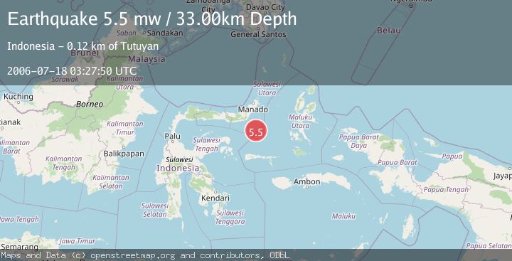
A 5.5 magnitude earthquake struck on MOLUCCA SEA, at Tue, 18 Jul 2006 03:27:50 GMT. Depth: 33km. Reviewed by EMSC seismologists, this moderate quake occurred at a magnitude type of mw.
Magnitude
5.5
mw
Source
EMSC
Intensity
-
Agency Reports
1 Sources| Source | Magnitude | Depth | Time |
|---|---|---|---|
| EMSCPrimary | 5.5 | 33 km | 19 years ago |
Earthquake Details
AutomaticEvent IDemsc_EMSC_20060718_0000054
Tsunami PotentialNo
Magnitude Typemw
Nearest Places
- Batu Mandi92.2 km
- Tanjung Flesko93.3 km
- Pulau Lampu93.7 km
- Tanjung Palureoi94.0 km
- Tanjung Payongan94.8 km
Comments
Join the discussion about this event.
Latest Earthquakes
3.6Mag
Fox Islands, Aleutian Islands, Alaska
Time1 hour ago
Depth28.81 km
SourceVYT (Automatic)
1.3Mag
Washington
Time1 hour ago
Depth0.00 km
SourceVYT (Automatic)
2.0Mag
Antofagasta, Chile
Time1 hour ago
Depth28.32 km
SourceVYT (Automatic)
1.2Mag
Central Alaska
Time1 hour ago
Depth0.00 km
SourceVYT (Automatic)
2.1Mag
Sulawesi, Indonesia
Time1 hour ago
Depth7.10 km
SourceBMKG
Nearby Earthquakes
5.2Mag
MOLUCCA SEA
Time16 years ago
Depth47.00 km
SourceEMSC (Automatic)
5.6Mag
MOLUCCA SEA
Time2 years ago
Depth45.00 km
SourceEMSC (Automatic)
5.8Mag
MOLUCCA SEA
Time12 years ago
Depth60.00 km
SourceEMSC (Automatic)
4.0Mag
MOLUCCA SEA
Time6 years ago
Depth10.00 km
SourceDJA (Automatic)
5.9Mag
MOLUCCA SEA
Time15 years ago
Depth46.00 km
SourceEMSC (Automatic)