Earthquake CELEBES SEA
Wed, 02 Jan 2008 08:01:48 GMT
Time18 years ago
Location
2.5700, 124.7100
Depth
10.0 KM
Event Summary
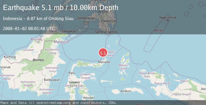
A 5.1 magnitude earthquake struck on CELEBES SEA, at Wed, 02 Jan 2008 08:01:48 GMT. Depth: 10km. Reviewed by EMSC seismologists, this moderate quake occurred at a magnitude type of mb.
Magnitude
5.1
mb
Source
EMSC
Intensity
-
Agency Reports
1 Sources| Source | Magnitude | Depth | Time |
|---|---|---|---|
| EMSCPrimary | 5.1 | 10 km | 18 years ago |
Earthquake Details
AutomaticEvent IDemsc_EMSC_20080102_0000059
Tsunami PotentialNo
Magnitude Typemb
Nearest Places
- Papatua Seamount53.0 km
- Desa Makalehi53.4 km
- Makalehi53.9 km
- Desa Makalehi Timur54.2 km
- Pulau Makalehi54.3 km
Comments
Join the discussion about this event.
Latest Earthquakes
2.6Mag
Minahasa, Sulawesi, Indonesia
Time19 hours ago
Depth3.17 km
SourceVYT (Automatic)
2.6Mag
Antofagasta, Chile
Time19 hours ago
Depth125.12 km
SourceVYT (Automatic)
0.8Mag
7 km NW of The Geysers, CA
Time19 hours ago
Depth1.32 km
SourceUSGS (Automatic)
2.7Mag
San Juan, Argentina
Time19 hours ago
Depth363.53 km
SourceVYT (Automatic)
2.5Mag
Java, Indonesia
Time19 hours ago
Depth115.43 km
SourceBMKG
Nearby Earthquakes
4.0Mag
CELEBES SEA
Time7 months ago
Depth250.00 km
SourceBMKG (Automatic)
5.6Mag
CELEBES SEA
Time3 years ago
Depth249.00 km
SourceEMSC (Automatic)
3.9Mag
CELEBES SEA
Time3 weeks ago
Depth10.00 km
SourceBMKG (Automatic)
4.0Mag
CELEBES SEA
Time4 years ago
Depth261.00 km
SourceDJA (Automatic)
5.1Mag
CELEBES SEA
Time18 years ago
Depth285.00 km
SourceEMSC (Automatic)