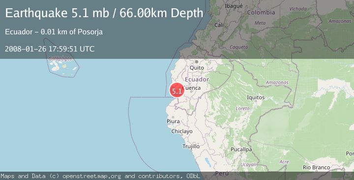
Earthquake NEAR COAST OF ECUADOR
Sat, 26 Jan 2008 17:59:51 GMT
Time18 years ago
Location
-2.7400, -80.2800
Depth
66.0 KM
Event Summary
A 5.1 magnitude earthquake struck on NEAR COAST OF ECUADOR, at Sat, 26 Jan 2008 17:59:51 GMT. Depth: 66km. Reviewed by EMSC seismologists, this moderate quake occurred at a magnitude type of mb.
Magnitude
5.1
mb
Source
EMSC
Intensity
-
Agency Reports
1 Sources| Source | Magnitude | Depth | Time |
|---|---|---|---|
| EMSCPrimary | 5.1 | 66 km | 18 years ago |
Earthquake Details
AutomaticEvent IDemsc_EMSC_20080126_0000059
Tsunami PotentialNo
Magnitude Typemb
Nearest Places
- Data de Posorja3.2 km
- Punta Arenas3.2 km
- Punta del Morro3.4 km
- Nirsa4.1 km
- Canal del Morro4.5 km
Comments
Join the discussion about this event.
Latest Earthquakes
1.6Mag
Southern Alaska
Time2 minutes ago
Depth48.58 km
SourceVYT (Automatic)
2.3Mag
Antofagasta, Chile
Time4 minutes ago
Depth82.15 km
SourceVYT (Automatic)
2.1Mag
Southern Alaska
Time6 minutes ago
Depth64.21 km
SourceVYT (Automatic)
2.5Mag
Central Alaska
Time12 minutes ago
Depth312.99 km
SourceVYT (Automatic)
3.6Mag
Banda Sea
Time18 minutes ago
Depth0.00 km
SourceVYT (Automatic)
Nearby Earthquakes
4.0Mag
NEAR COAST OF ECUADOR
Time7 years ago
Depth19.00 km
SourceQUI (Automatic)
5.0Mag
NEAR COAST OF ECUADOR
Time12 years ago
Depth40.00 km
SourceEMSC (Automatic)
4.0Mag
NEAR COAST OF ECUADOR
Time6 years ago
Depth35.00 km
SourceQUI (Automatic)
4.0Mag
NEAR COAST OF ECUADOR
Time7 years ago
Depth8.00 km
SourceQUI (Automatic)
4.0Mag
PERU-ECUADOR BORDER REGION
Time4 years ago
Depth62.00 km
SourceLIM (Automatic)