Earthquake BALI SEA
Thu, 07 Feb 2008 20:58:19 GMT
Time18 years ago
Location
-7.6000, 116.8400
Depth
328.0 KM
Event Summary
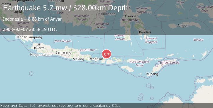
A 5.7 magnitude earthquake struck on BALI SEA, at Thu, 07 Feb 2008 20:58:19 GMT. Depth: 328km. Reviewed by EMSC seismologists, this moderate quake occurred at a magnitude type of mw.
Magnitude
5.7
mw
Source
EMSC
Intensity
-
Agency Reports
1 Sources| Source | Magnitude | Depth | Time |
|---|---|---|---|
| EMSCPrimary | 5.7 | 328 km | 18 years ago |
Earthquake Details
AutomaticEvent IDemsc_EMSC_20080207_0000085
Tsunami PotentialNo
Magnitude Typemw
Nearest Places
- 36.2 km
- 39.3 km
- 39.5 km
- 44.4 km
- 46.1 km
Comments
Join the discussion about this event.
Latest Earthquakes
1.9Mag
Southern California
Time6 minutes ago
Depth11.11 km
SourceVYT (Automatic)
1.9Mag
Sweden
Time8 minutes ago
Depth11.84 km
SourceVYT (Automatic)
0.8Mag
9 km NNW of Perryville, Alaska
Time10 minutes ago
Depth118.40 km
SourceUSGS (Automatic)
0.5Mag
Northern Territory, Australia
Time13 minutes ago
Depth5.00 km
SourceVYT (Automatic)
3.5Mag
OFF E. COAST OF N. ISLAND, N.Z.
Time16 minutes ago
Depth207.40 km
SourceGNS (Automatic)
Nearby Earthquakes
3.0Mag
BALI SEA
Time4 years ago
Depth346.00 km
SourceDJA (Automatic)
3.0Mag
BALI SEA
Time2 years ago
Depth271.00 km
SourceDJA (Automatic)
5.0Mag
BALI SEA
Time11 years ago
Depth297.00 km
SourceEMSC (Automatic)
3.0Mag
BALI SEA
Time3 months ago
Depth12.00 km
SourceBMKG (Automatic)
5.7Mag
BALI SEA
Time16 years ago
Depth44.00 km
SourceEMSC (Automatic)