Earthquake KEP. MENTAWAI REGION, INDONESIA
Tue, 19 Feb 2008 17:01:34 GMT
Time18 years ago
Location
-2.3700, 99.9400
Depth
40.0 KM
Event Summary
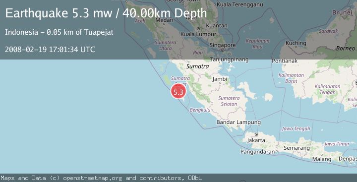
A 5.3 magnitude earthquake struck on KEP. MENTAWAI REGION, INDONESIA, at Tue, 19 Feb 2008 17:01:34 GMT. Depth: 40km. Reviewed by EMSC seismologists, this moderate quake occurred at a magnitude type of mw.
Magnitude
5.3
mw
Source
EMSC
Intensity
-
Agency Reports
1 Sources| Source | Magnitude | Depth | Time |
|---|---|---|---|
| EMSCPrimary | 5.3 | 40 km | 18 years ago |
Earthquake Details
AutomaticEvent IDemsc_EMSC_20080219_0000045
Tsunami PotentialNo
Magnitude Typemw
Nearest Places
- Tanjung Kinapat9.2 km
- Pulau Puserepangan9.3 km
- Pulau Pusaoat9.7 km
- Katiet9.9 km
- Sipura Strait9.9 km
Comments
Join the discussion about this event.
Latest Earthquakes
2.6Mag
Antofagasta, Chile
Time3 minutes ago
Depth0.00 km
SourceVYT (Automatic)
2.8Mag
Fox Islands, Aleutian Islands, Alaska
Time6 minutes ago
Depth80.44 km
SourceVYT (Automatic)
0.9Mag
110 km S of McCarthy, Alaska
Time8 minutes ago
Depth18.50 km
SourceUSGS (Automatic)
3.0Mag
Central Alaska
Time9 minutes ago
Depth0.12 km
SourceVYT (Automatic)
2.5Mag
Minahassa Peninsula, Sulawesi
Time10 minutes ago
Depth4.95 km
SourceBMKG
Nearby Earthquakes
5.5Mag
KEP. MENTAWAI REGION, INDONESIA
Time18 years ago
Depth40.00 km
SourceEMSC (Automatic)
7.0Mag
KEP. MENTAWAI REGION, INDONESIA
Time17 years ago
Depth40.00 km
SourceEMSC (Automatic)
5.5Mag
KEP. MENTAWAI REGION, INDONESIA
Time17 years ago
Depth34.00 km
SourceEMSC (Automatic)
5.1Mag
KEP. MENTAWAI REGION, INDONESIA
Time18 years ago
Depth40.00 km
SourceEMSC (Automatic)
6.3Mag
KEP. MENTAWAI REGION, INDONESIA
Time17 years ago
Depth30.00 km
SourceEMSC (Automatic)