Earthquake MINDORO, PHILIPPINES
Wed, 27 Feb 2008 22:57:02 GMT
Time18 years ago
Location
13.3500, 120.7600
Depth
60.0 KM
Event Summary
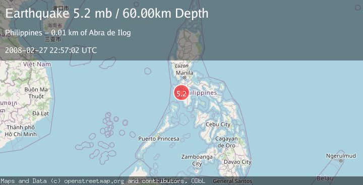
A 5.2 magnitude earthquake struck on MINDORO, PHILIPPINES, at Wed, 27 Feb 2008 22:57:02 GMT. Depth: 60km. Reviewed by EMSC seismologists, this moderate quake occurred at a magnitude type of mb.
Magnitude
5.2
mb
Source
EMSC
Intensity
-
Agency Reports
1 Sources| Source | Magnitude | Depth | Time |
|---|---|---|---|
| EMSCPrimary | 5.2 | 60 km | 18 years ago |
Earthquake Details
AutomaticEvent IDemsc_EMSC_20080227_0000092
Tsunami PotentialNo
Magnitude Typemb
Nearest Places
- 3.9 km
- 5.7 km
- 5.7 km
- 6.9 km
- 1Tuay7.9 km
Comments
Join the discussion about this event.
Latest Earthquakes
2.7Mag
Salta, Argentina
Time6 minutes ago
Depth222.53 km
SourceVYT (Automatic)
2.8Mag
Queensland, Australia
Time8 minutes ago
Depth735.60 km
SourceVYT (Automatic)
3.2Mag
Java, Indonesia
Time9 minutes ago
Depth105.23 km
SourceBMKG
3.6Mag
Fox Islands, Aleutian Islands, Alaska
Time10 minutes ago
Depth0.00 km
SourceVYT (Automatic)
4.3Mag
Fox Islands, Aleutian Islands, Alaska
Time17 minutes ago
Depth18.92 km
SourceVYT (Automatic)
Nearby Earthquakes
5.0Mag
MINDORO, PHILIPPINES
Time4 years ago
Depth35.00 km
SourceEMSC (Automatic)
5.5Mag
MINDORO, PHILIPPINES
Time14 years ago
Depth37.00 km
SourceEMSC (Automatic)
5.0Mag
MINDORO, PHILIPPINES
Time17 years ago
Depth64.00 km
SourceEMSC (Automatic)
3.0Mag
MINDORO, PHILIPPINES
Time1 year ago
Depth42.00 km
SourcePIVS (Automatic)
3.0Mag
MINDORO, PHILIPPINES
Time1 month ago
Depth35.00 km
SourcePIVS (Automatic)