Earthquake PHILIPPINE ISLANDS REGION
Mon, 03 Mar 2008 14:11:12 GMT
Time17 years ago
Location
13.3900, 125.7300
Depth
10.0 KM
Event Summary
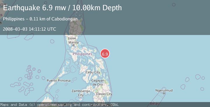
A 6.9 magnitude earthquake struck on PHILIPPINE ISLANDS REGION, at Mon, 03 Mar 2008 14:11:12 GMT. Depth: 10km. Reviewed by EMSC seismologists, this strong quake occurred at a magnitude type of mw.
Magnitude
6.9
mw
Source
EMSC
Intensity
-
Agency Reports
1 Sources| Source | Magnitude | Depth | Time |
|---|---|---|---|
| EMSCPrimary | 6.9 | 10 km | 17 years ago |
Earthquake Details
AutomaticEvent IDemsc_EMSC_20080303_0000084
Tsunami PotentialNo
Magnitude Typemw
Nearest Places
- 70.2 km
- 106.5 km
- 106.6 km
- 107.1 km
- 107.1 km
Comments
Join the discussion about this event.
Latest Earthquakes
2.2Mag
Southern Alaska
Time2 minutes ago
Depth152.22 km
SourceVYT (Automatic)
2.1Mag
Sulawesi, Indonesia
Time7 minutes ago
Depth5.00 km
SourceBMKG
0.8Mag
6 km NNW of The Geysers, CA
Time11 minutes ago
Depth0.80 km
SourceUSGS (Automatic)
1.8Mag
Sweden
Time12 minutes ago
Depth9.28 km
SourceVYT (Automatic)
2.5Mag
Northern Sumatra, Indonesia
Time16 minutes ago
Depth3.03 km
SourceBMKG
Nearby Earthquakes
5.1Mag
PHILIPPINE ISLANDS REGION
Time17 years ago
Depth16.00 km
SourceEMSC (Automatic)
5.8Mag
PHILIPPINE ISLANDS REGION
Time17 years ago
Depth10.00 km
SourceEMSC (Automatic)
3.0Mag
PHILIPPINE ISLANDS REGION
Time3 years ago
Depth39.00 km
SourcePIVS (Automatic)
5.5Mag
PHILIPPINE ISLANDS REGION
Time19 years ago
Depth33.00 km
SourceEMSC (Automatic)
5.8Mag
PHILIPPINE ISLANDS REGION
Time3 years ago
Depth10.00 km
SourceEMSC (Automatic)