Earthquake SOUTHERN SUMATRA, INDONESIA
Tue, 02 Sep 2008 00:06:52 GMT
Time17 years ago
Location
-4.3700, 101.5000
Depth
45.0 KM
Event Summary
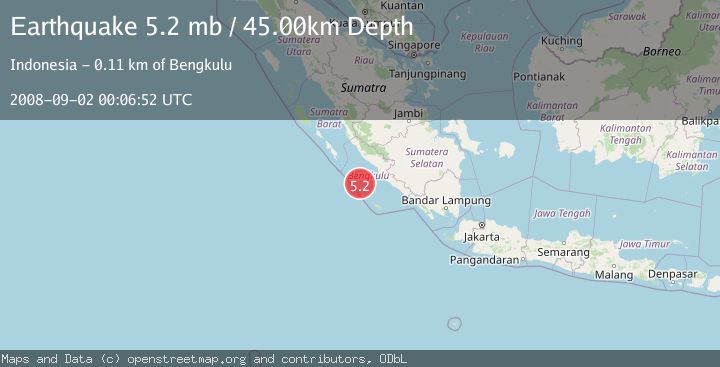
A 5.2 magnitude earthquake struck on SOUTHERN SUMATRA, INDONESIA, at Tue, 02 Sep 2008 00:06:52 GMT. Depth: 45km. Reviewed by EMSC seismologists, this moderate quake occurred at a magnitude type of mb.
Magnitude
5.2
mb
Source
EMSC
Intensity
-
Agency Reports
1 Sources| Source | Magnitude | Depth | Time |
|---|---|---|---|
| EMSCPrimary | 5.2 | 45 km | 17 years ago |
Earthquake Details
AutomaticEvent IDemsc_EMSC_20080902_0000041
Tsunami PotentialNo
Magnitude Typemb
Nearest Places
- Mentawai Trough41.1 km
- Pulau Mega66.1 km
- Lebar Reef90.6 km
- Pulau Tikus95.2 km
- Ujung Teluk Punggur99.5 km
Comments
Join the discussion about this event.
Latest Earthquakes
2.6Mag
Antofagasta, Chile
Time3 minutes ago
Depth116.33 km
SourceVYT (Automatic)
1.1Mag
Northern Territory, Australia
Time6 minutes ago
Depth0.00 km
SourceVYT (Automatic)
3.7Mag
NEAR THE COAST OF WESTERN TURKEY
Time9 minutes ago
Depth8.00 km
SourceTHE (Automatic)
2.2Mag
Central Alaska
Time9 minutes ago
Depth131.71 km
SourceVYT (Automatic)
2.1Mag
NORTHERN CALIFORNIA
Time11 minutes ago
Depth6.60 km
SourceNC (Automatic)
Nearby Earthquakes
5.3Mag
SOUTHERN SUMATRA, INDONESIA
Time17 years ago
Depth55.00 km
SourceEMSC (Automatic)
4.0Mag
SOUTHERN SUMATRA, INDONESIA
Time1 year ago
Depth10.00 km
SourceBMKG (Automatic)
6.4Mag
SOUTHERN SUMATRA, INDONESIA
Time17 years ago
Depth10.00 km
SourceEMSC (Automatic)
5.2Mag
SOUTHERN SUMATRA, INDONESIA
Time18 years ago
Depth40.00 km
SourceEMSC (Automatic)
5.5Mag
SOUTHERN SUMATRA, INDONESIA
Time18 years ago
Depth40.00 km
SourceEMSC (Automatic)