Earthquake KEPULAUAN TALAUD, INDONESIA
Fri, 13 Feb 2009 04:28:19 GMT
Time17 years ago
Location
4.1800, 126.8700
Depth
30.0 KM
Event Summary
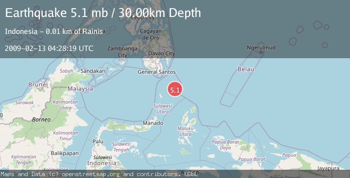
A 5.1 magnitude earthquake struck on KEPULAUAN TALAUD, INDONESIA, at Fri, 13 Feb 2009 04:28:19 GMT. Depth: 30km. Reviewed by EMSC seismologists, this moderate quake occurred at a magnitude type of mb.
Magnitude
5.1
mb
Source
EMSC
Intensity
-
Agency Reports
1 Sources| Source | Magnitude | Depth | Time |
|---|---|---|---|
| EMSCPrimary | 5.1 | 84 km | 17 years ago |
Earthquake Details
AutomaticEvent IDemsc_EMSC_20090213_0000051
Tsunami PotentialNo
Magnitude Typemb
Nearest Places
- Nunu3.1 km
- Alo3.7 km
- Tanjung Bitunuris4.4 km
- Desa Rainis Batupenga4.6 km
- Desa Nunu4.7 km
Comments
Join the discussion about this event.
Latest Earthquakes
2.1Mag
WESTERN TEXAS
Time3 minutes ago
Depth6.60 km
SourceTX (Automatic)
2.7Mag
southern Sumatra, Indonesia
Time5 minutes ago
Depth7.08 km
SourceVYT (Automatic)
0.9Mag
Washington
Time5 minutes ago
Depth0.98 km
SourceVYT (Automatic)
2.5Mag
Tarapaca, Chile
Time8 minutes ago
Depth0.00 km
SourceVYT (Automatic)
1.1Mag
WESTERN TURKEY
Time9 minutes ago
Depth4.00 km
SourceAFAD (Automatic)
Nearby Earthquakes
3.0Mag
KEPULAUAN TALAUD, INDONESIA
Time7 months ago
Depth38.00 km
SourceBMKG (Automatic)
5.2Mag
KEPULAUAN TALAUD, INDONESIA
Time18 years ago
Depth78.00 km
SourceEMSC (Automatic)
6.1Mag
KEPULAUAN TALAUD, INDONESIA
Time17 years ago
Depth60.00 km
SourceEMSC (Automatic)
5.1Mag
KEPULAUAN TALAUD, INDONESIA
Time13 years ago
Depth70.00 km
SourceEMSC (Automatic)
6.2Mag
KEPULAUAN TALAUD, INDONESIA
Time17 years ago
Depth30.00 km
SourceEMSC (Automatic)