Earthquake KEPULAUAN TALAUD, INDONESIA
Fri, 13 Feb 2009 16:49:12 GMT
Time17 years ago
Location
3.6900, 126.9200
Depth
35.0 KM
Event Summary
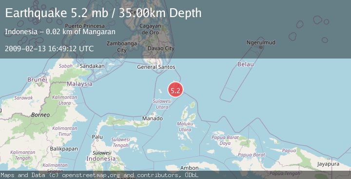
A 5.2 magnitude earthquake struck on KEPULAUAN TALAUD, INDONESIA, at Fri, 13 Feb 2009 16:49:12 GMT. Depth: 35km. Reviewed by EMSC seismologists, this moderate quake occurred at a magnitude type of mb.
Magnitude
5.2
mb
Source
EMSC
Intensity
-
Agency Reports
1 Sources| Source | Magnitude | Depth | Time |
|---|---|---|---|
| EMSCPrimary | 5.2 | 35 km | 17 years ago |
Earthquake Details
AutomaticEvent IDemsc_EMSC_20090213_0000080
Tsunami PotentialNo
Magnitude Typemb
Nearest Places
- Pulau Napumbalu8.6 km
- Tanjung Tampida10.4 km
- Tanjung Tatimbalangan10.5 km
- Damau11.3 km
- Tanjung Pallo11.7 km
Comments
Join the discussion about this event.
Latest Earthquakes
1.9Mag
Tarapaca, Chile
Time2 minutes ago
Depth0.00 km
SourceVYT (Automatic)
1.0Mag
11 km SW of Anza, CA
Time5 minutes ago
Depth8.49 km
SourceUSGS (Automatic)
3.3Mag
West Papua, Indonesia
Time19 minutes ago
Depth10.00 km
SourceBMKG
2.4Mag
Sumbawa Region, Indonesia
Time21 minutes ago
Depth24.94 km
SourceBMKG
2.2Mag
Tarapaca, Chile
Time28 minutes ago
Depth53.71 km
SourceVYT (Automatic)
Nearby Earthquakes
3.0Mag
KEPULAUAN TALAUD, INDONESIA
Time4 months ago
Depth17.00 km
SourceBMKG (Automatic)
5.0Mag
KEPULAUAN TALAUD, INDONESIA
Time9 years ago
Depth80.00 km
SourceEMSC (Automatic)
5.1Mag
KEPULAUAN TALAUD, INDONESIA
Time17 years ago
Depth68.00 km
SourceEMSC (Automatic)
3.0Mag
KEPULAUAN TALAUD, INDONESIA
Time4 months ago
Depth23.00 km
SourceBMKG (Automatic)
6.4Mag
KEPULAUAN TALAUD, INDONESIA
Time1 month ago
Depth57.20 km
SourceNEIC (Automatic)