Earthquake SOUTHEAST OF RYUKYU ISLANDS
Sat, 21 Feb 2009 00:12:54 GMT
Time17 years ago
Location
28.9300, 131.0000
Depth
10.0 KM
Event Summary
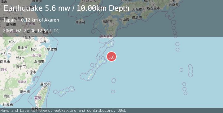
A 5.6 magnitude earthquake struck on SOUTHEAST OF RYUKYU ISLANDS, at Sat, 21 Feb 2009 00:12:54 GMT. Depth: 10km. Reviewed by EMSC seismologists, this moderate quake occurred at a magnitude type of mw.
Magnitude
5.6
mw
Source
EMSC
Intensity
-
Agency Reports
1 Sources| Source | Magnitude | Depth | Time |
|---|---|---|---|
| EMSCPrimary | 5.6 | 10 km | 17 years ago |
Earthquake Details
AutomaticEvent IDemsc_EMSC_20090221_0000052
Tsunami PotentialNo
Magnitude Typemw
Nearest Places
- 45.5 km
- 45.6 km
- 45.6 km
- 54.6 km
- 82.0 km
Comments
Join the discussion about this event.
Latest Earthquakes
1.4Mag
Southern Alaska
Time3 minutes ago
Depth19.65 km
SourceVYT (Automatic)
3.7Mag
northern Sumatra, Indonesia
Time5 minutes ago
Depth7.93 km
SourceVYT (Automatic)
2.0Mag
Haida Gwaii Region, Canada
Time6 minutes ago
Depth4.15 km
SourceVYT (Automatic)
3.1Mag
EASTERN HONSHU, JAPAN
Time6 minutes ago
Depth10.00 km
SourceJMA (Automatic)
3.2Mag
Papua, Indonesia
Time9 minutes ago
Depth629.27 km
SourceVYT (Automatic)
Nearby Earthquakes
5.2Mag
SOUTHEAST OF RYUKYU ISLANDS
Time1 year ago
Depth6.30 km
SourceEMSC (Automatic)
5.4Mag
RYUKYU ISLANDS, JAPAN
Time1 year ago
Depth9.80 km
SourceEMSC (Automatic)
5.0Mag
RYUKYU ISLANDS, JAPAN
Time14 years ago
Depth10.00 km
SourceEMSC (Automatic)
6.1Mag
SOUTHEAST OF RYUKYU ISLANDS
Time1 year ago
Depth15.00 km
SourceEMSC (Automatic)
5.4Mag
RYUKYU ISLANDS, JAPAN
Time3 years ago
Depth10.00 km
SourceEMSC (Automatic)